Day 1 – North Cape to Mill River – 50 km (31 miles)
We crossed over to Prince Edward Island on the Confederation Bridge, the longest bridge in the world over ice covered waters, but thankfully not today. The bridge is a beauty at 8 miles long. There’s no charge to cross over, but you pay a toll of around $50 dollars to return. There’s also ferry service to the island.
Charlottetown is our home base for this trip. We are staying at the Fairholm Inn and had arranged to leave our car with them while we travel out by bike. For this trip, we worked with a local guide, George Larter, to put together our bike itinerary. George’s is a family run business providing guide services to folks that visit PEI. He put together a “tip to tip” itinerary for us based on the number of miles we wanted to ride. The Confederation Trail runs from one end of the island to the other and is an old railroad bed that has been converted to a bike trail. The main east/west line of the trail is 273 km (170 miles) and the total mileage including all the branch lines is 449 km (279 miles).
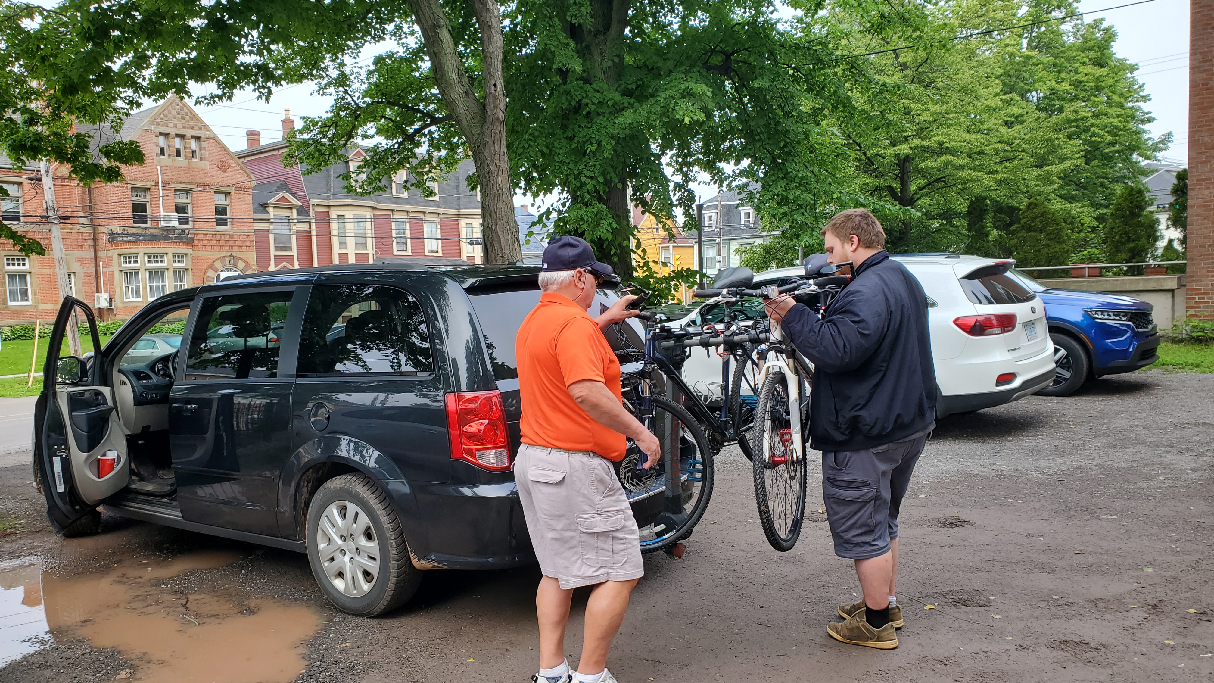
George had arranged for his son to pick us up and transport us to our starting point, North Cape, at the western tip of the island. We were able to meet George as well since he was meeting with visitors at a nearby inn, so he made a quick stop at our inn to meet us and helped load our bikes.
It was an enjoyable ride to the western tip of the island. Andrew was an informative guide and we learned a bit of the history of the island. When we neared our destination, he stopped at a little mom and pop sandwich shop and we grabbed a sandwich for lunch before hitting the trail.
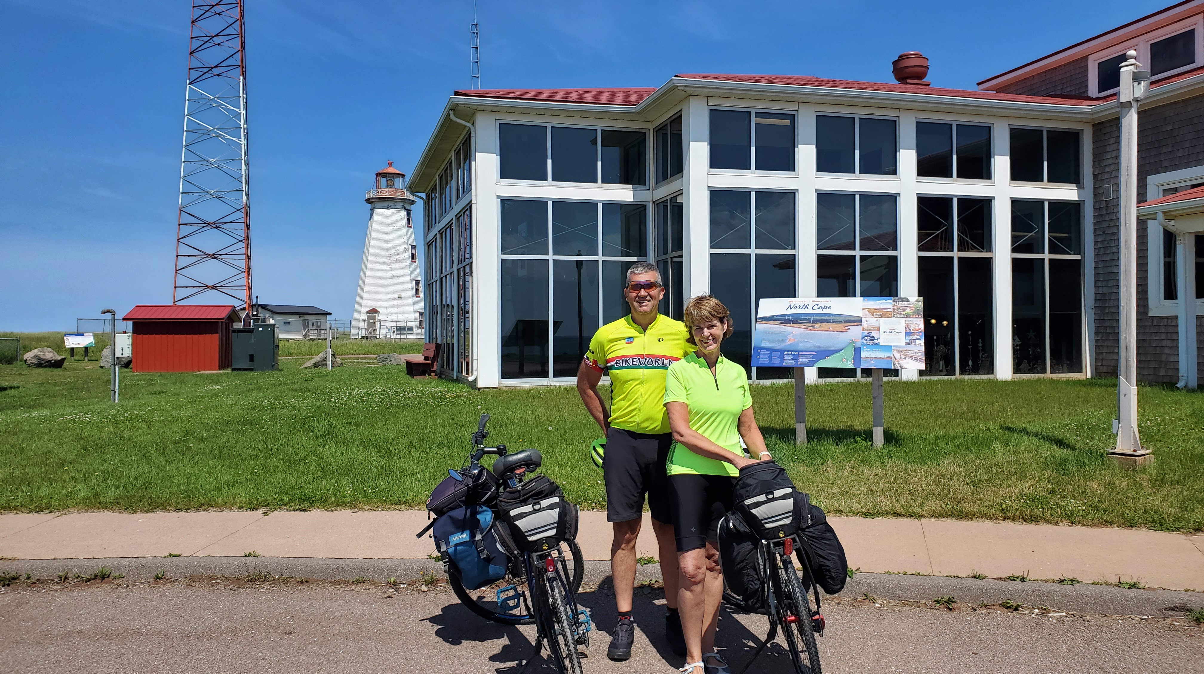
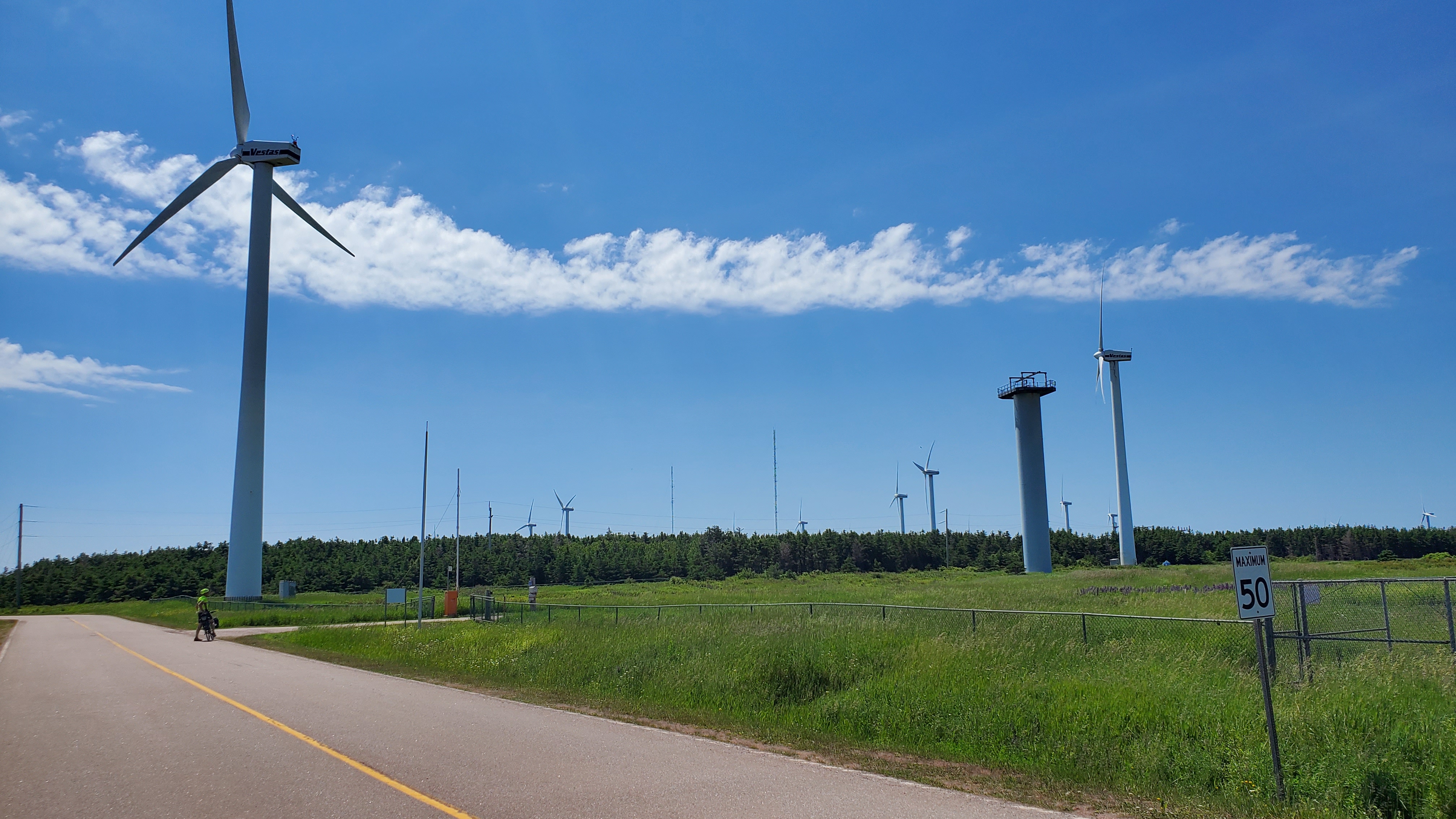
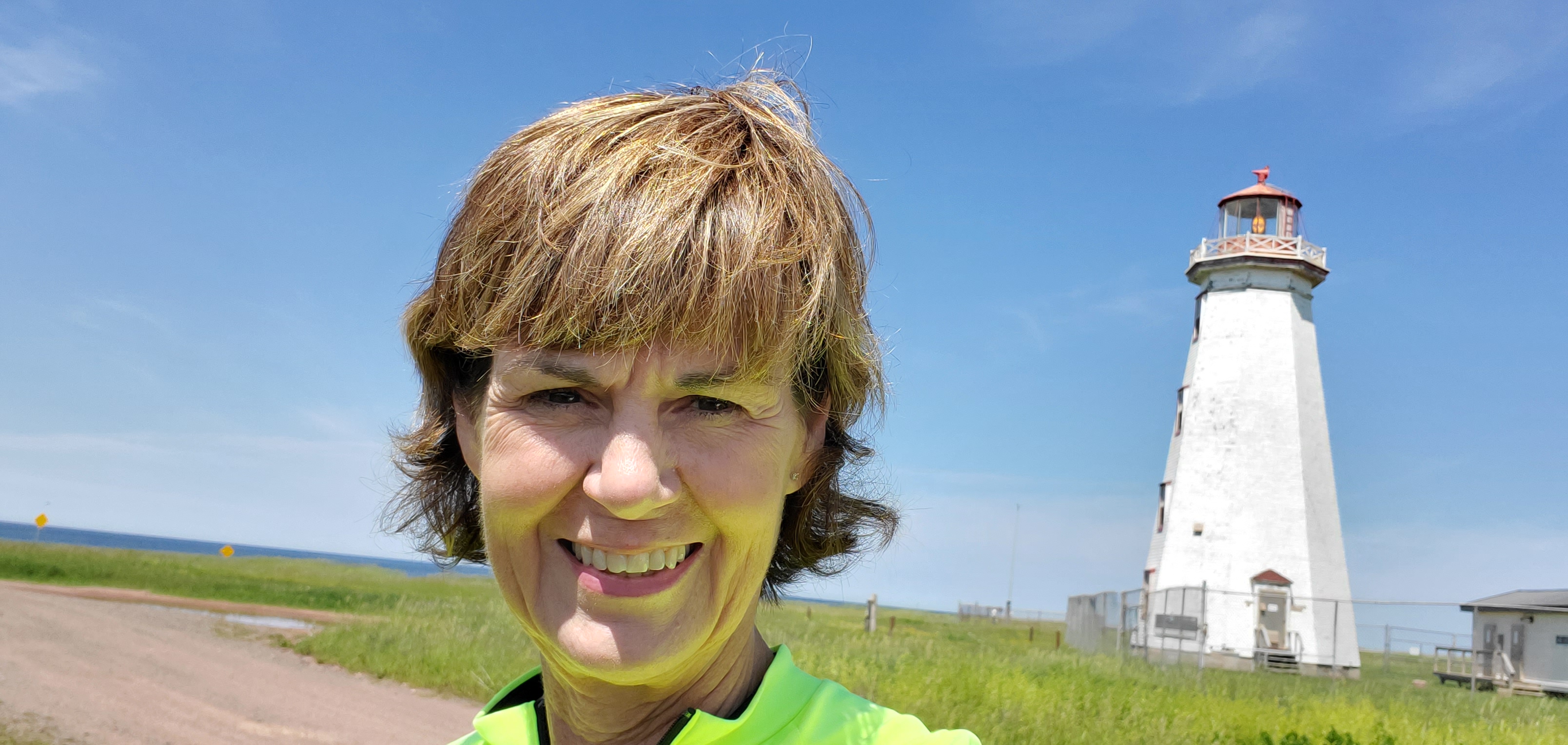
Our drop off point was on the western tip of the island at North Cape. There’s a lighthouse there, as well as a wind farm. I have never been so close to wind turbines. They are huge!
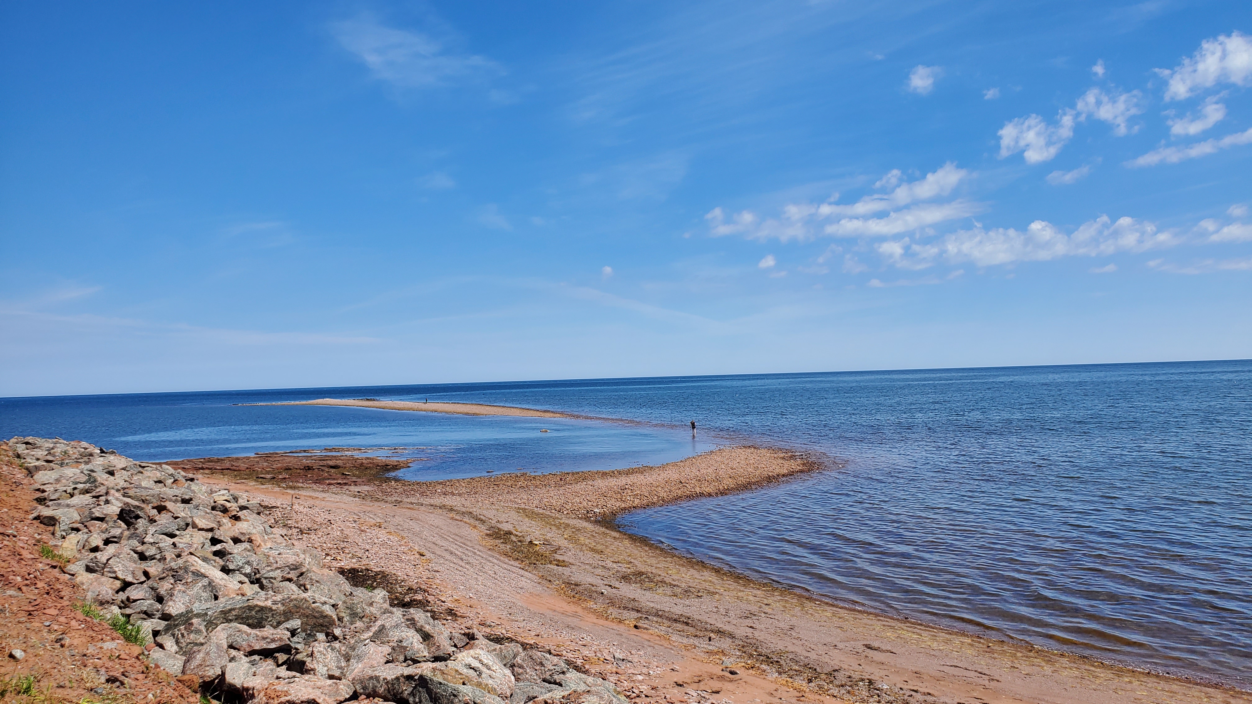
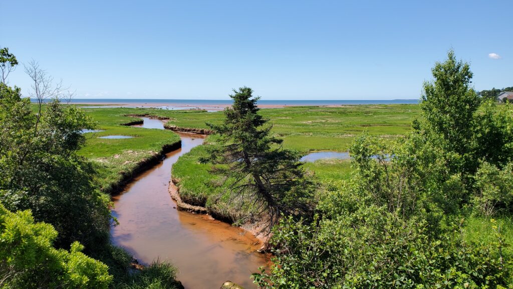
The waters at North Cape are where the Gulf of Saint Lawrence and the Atlantic Ocean meet, and there is a distinctive color change at the junction, though it’s hard to see in this picture. Also on this beach is the longest natural rock reef in the world. At 2 km long, you can walk out at low tide, but since the middle is the first to be covered by the rising tide, you have to be careful not to get stranded.
I learned about an interesting unsolved mystery that occurred at North Cape. In April of 1943, a German U-boat had been on a mission to rescue escaped German naval officers. These prisoners of war were to escape from a camp in New Brunswick and make their way to North Cape, PEI. When the commander of the sub received his orders, it was to initiate Operation Elster. After failing to make the required daily contact for 3 days, U-376 was declared missing and a back up sub was called and ordered to take over the Operation Elster mission. Though the commander and crew of U-262 had never crossed the North Atlantic before, the routes followed by U-boats were well known. When they arrived at the Cabot Strait, they encountered heavy pack ice that was impossible to penetrate from the surface. The bold decision was made to dive under the ice pack, and after 16 hours, the boat was able to break through ice to the surface on the second attempt. On May 2, 1943, U-262 arrived at North Cape after having spent the longest time under the ice pack of any previous submarine. They waited there for several days for the escaped PoW’s to show up by remaining above the water at night and submerging during the day. When the escaped prisoners didn’t show, Operation Elster was called off. It was later learned that their escape was unsuccessful. What was never determined, was the fate of the first submarine, U-376. Many possibilities surfaced including sinking from a weather-related event, hitting a sea mine, equipment malfunction, etc. It is known that there was a sea exercise at North Cape involving 3 US ships, and witnesses at the time claim that a submarine was sunk. However expeditions to the area with the purpose of finding any evidence of the lost U-boat in 1995, 2012, and 2013 were unsuccessful. The mystery of U-376 and its 47 crew members remains.
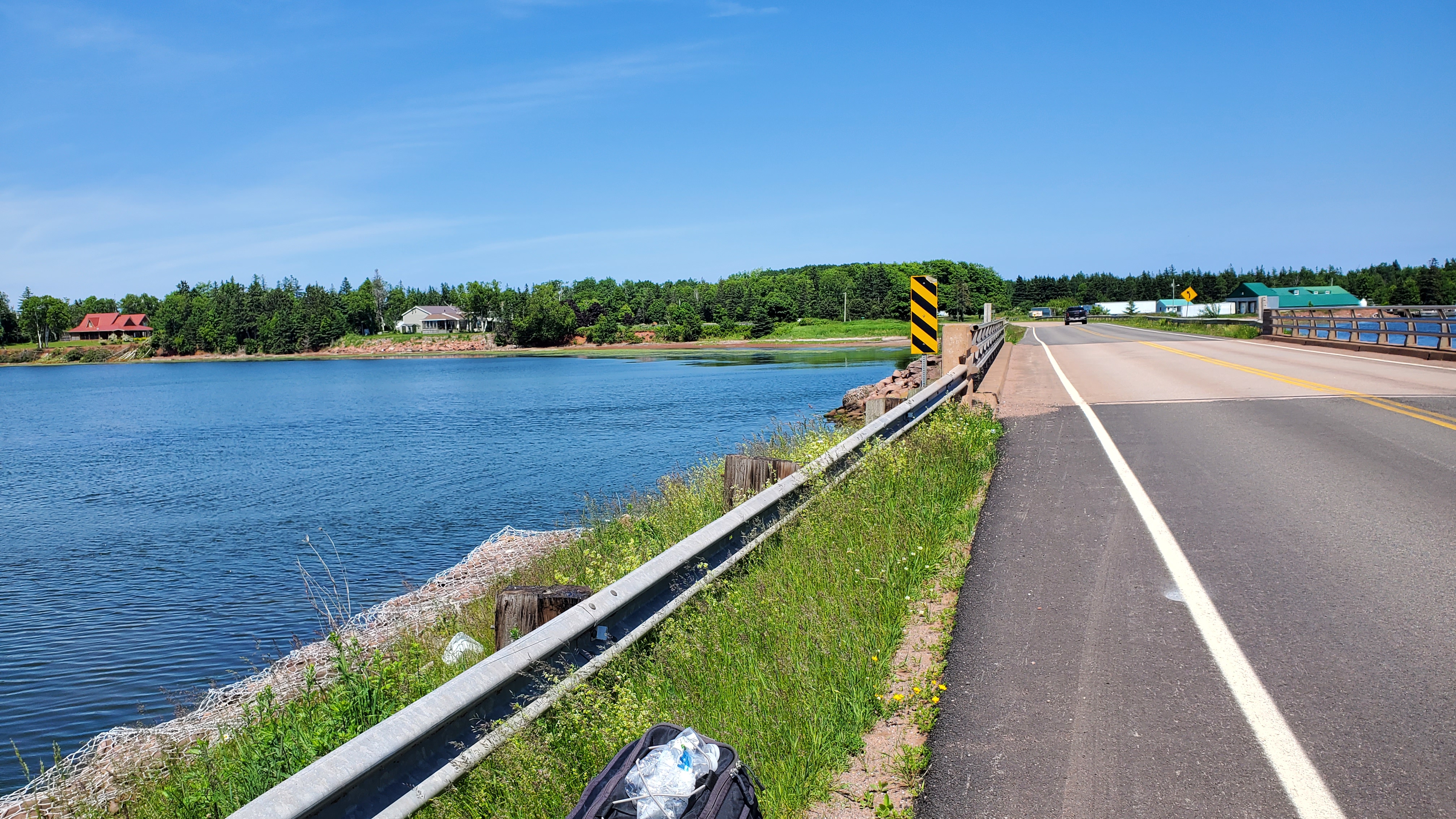
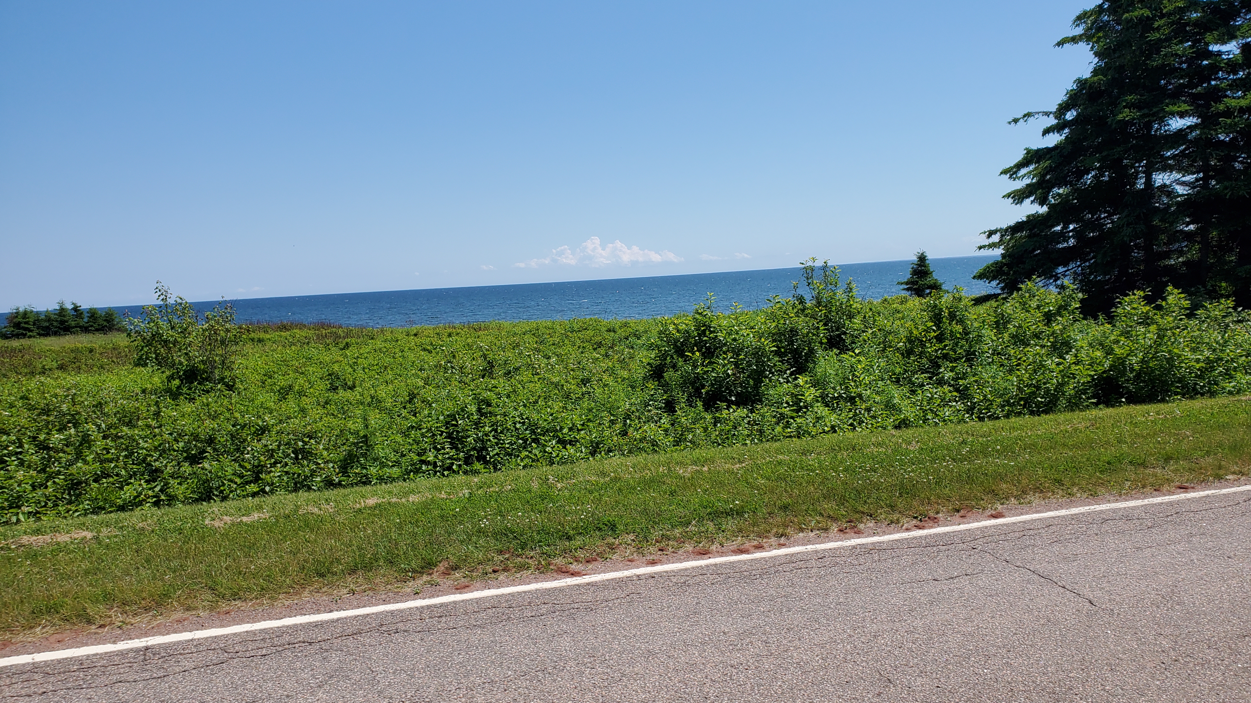
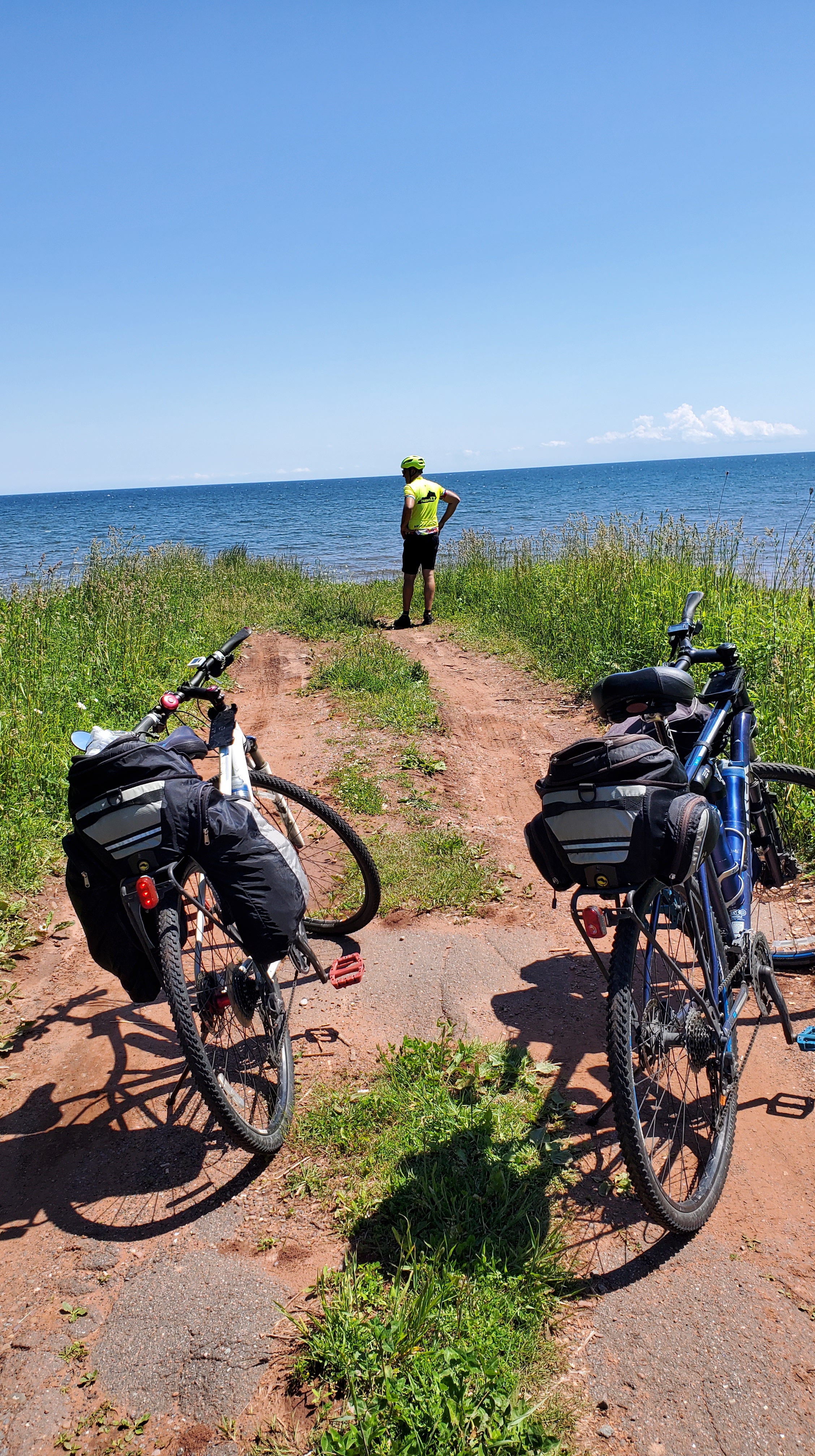
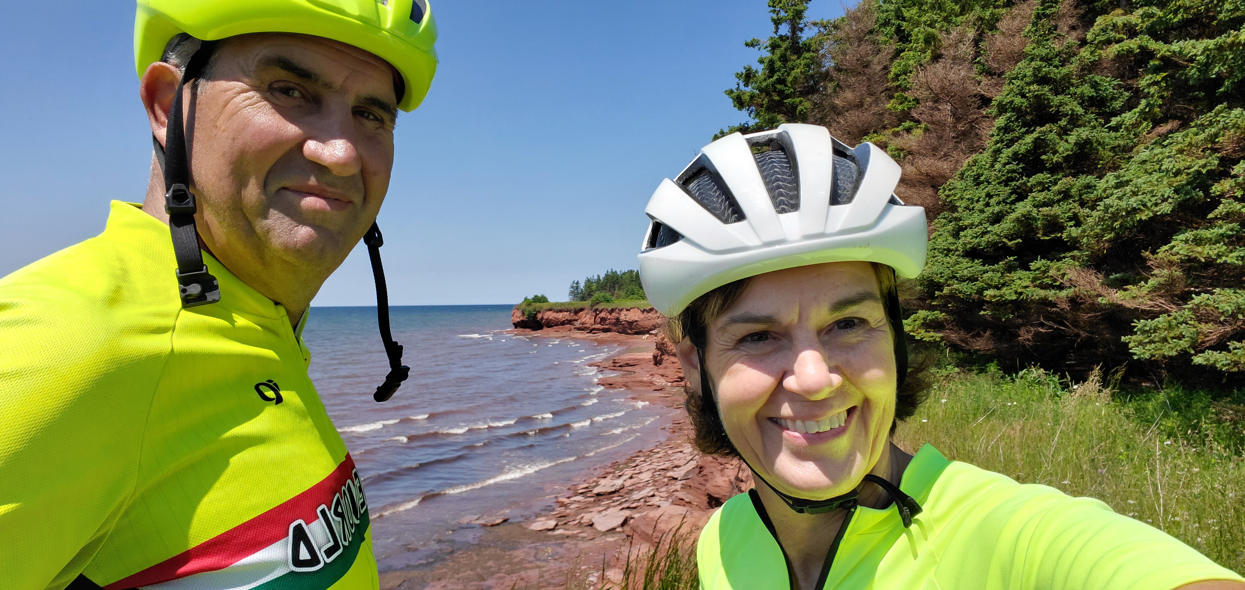
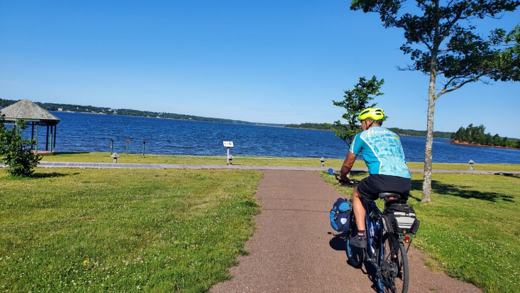
After reading all of the historic information on North Cape and a quick overview of the wind farm, we were on our way. Today’s route is strictly along the coast. We will get on the Confederation Trail tomorrow, but at George’s recommendation, alot of beautiful scenery occurs along the coastal roads. We usually try to avoid roads by bike, but in this case, we felt very safe. The roads are very lightly traveled with a long sight distance. Drivers were very courteous and passed us by taking the opposite lane as far away from us as possible.
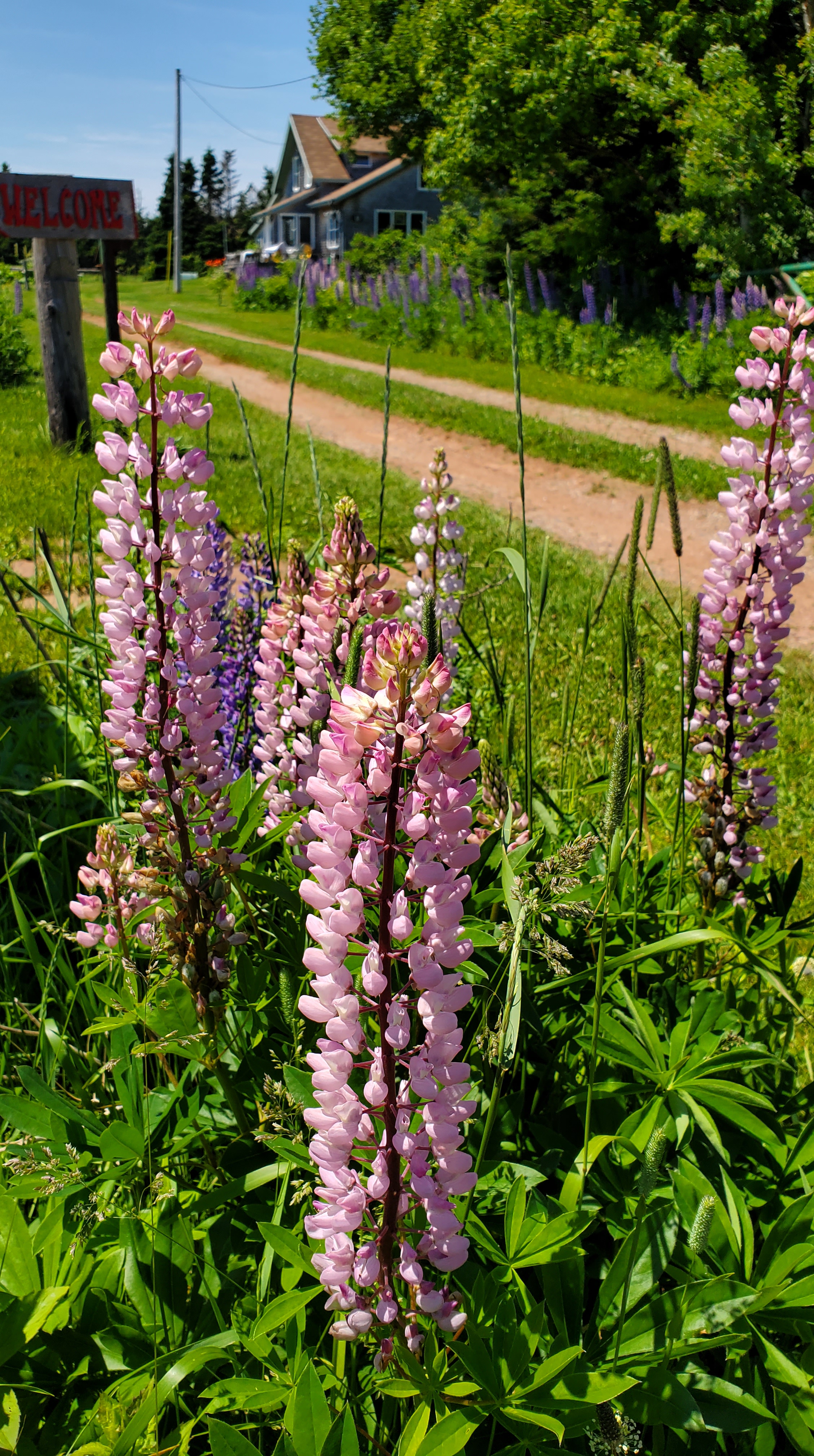
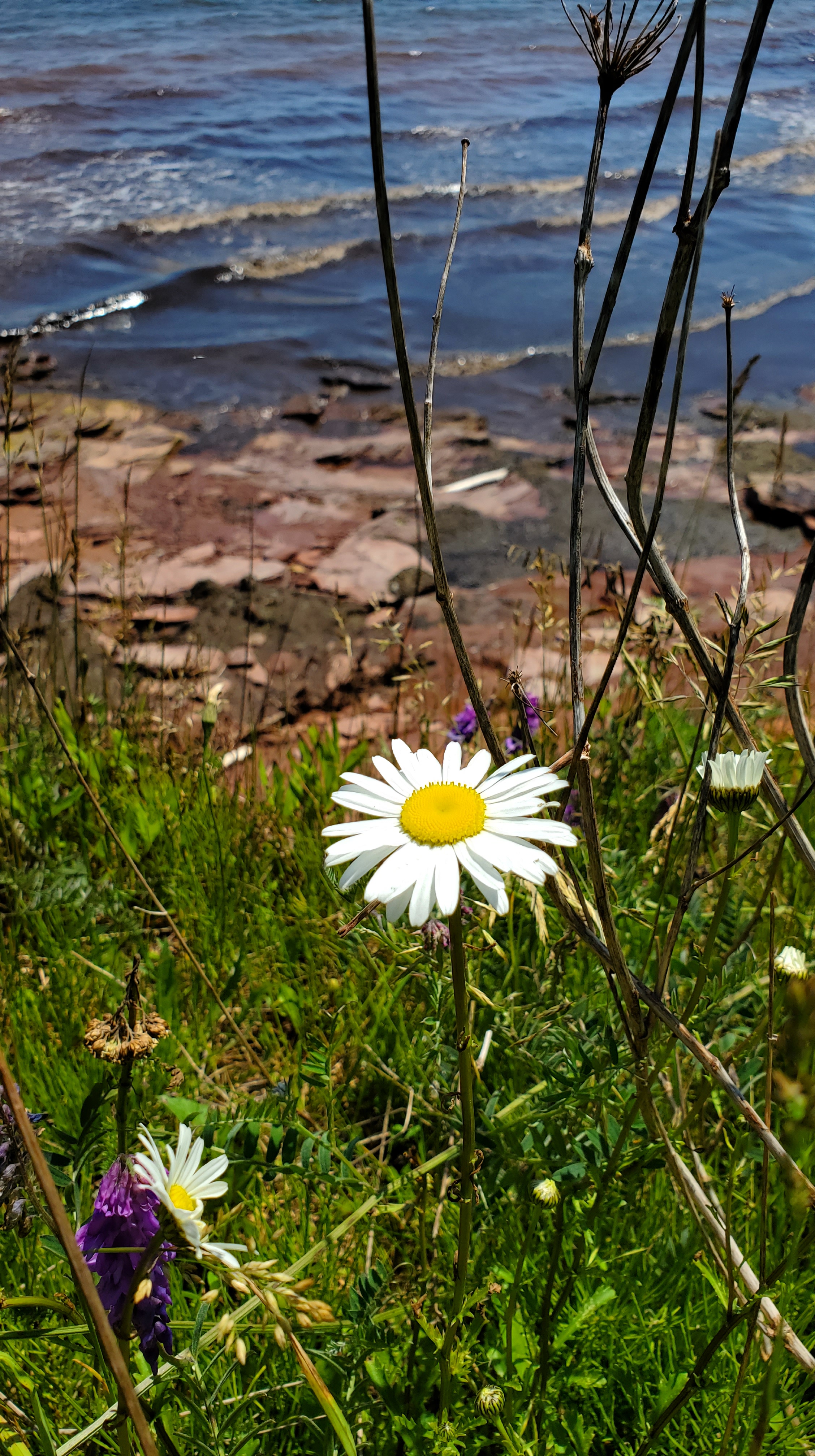
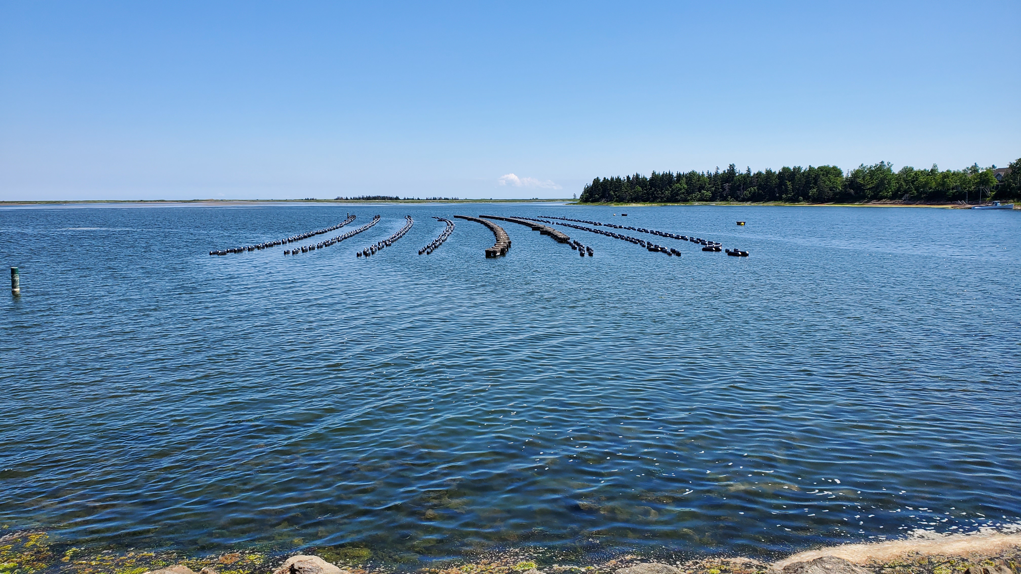
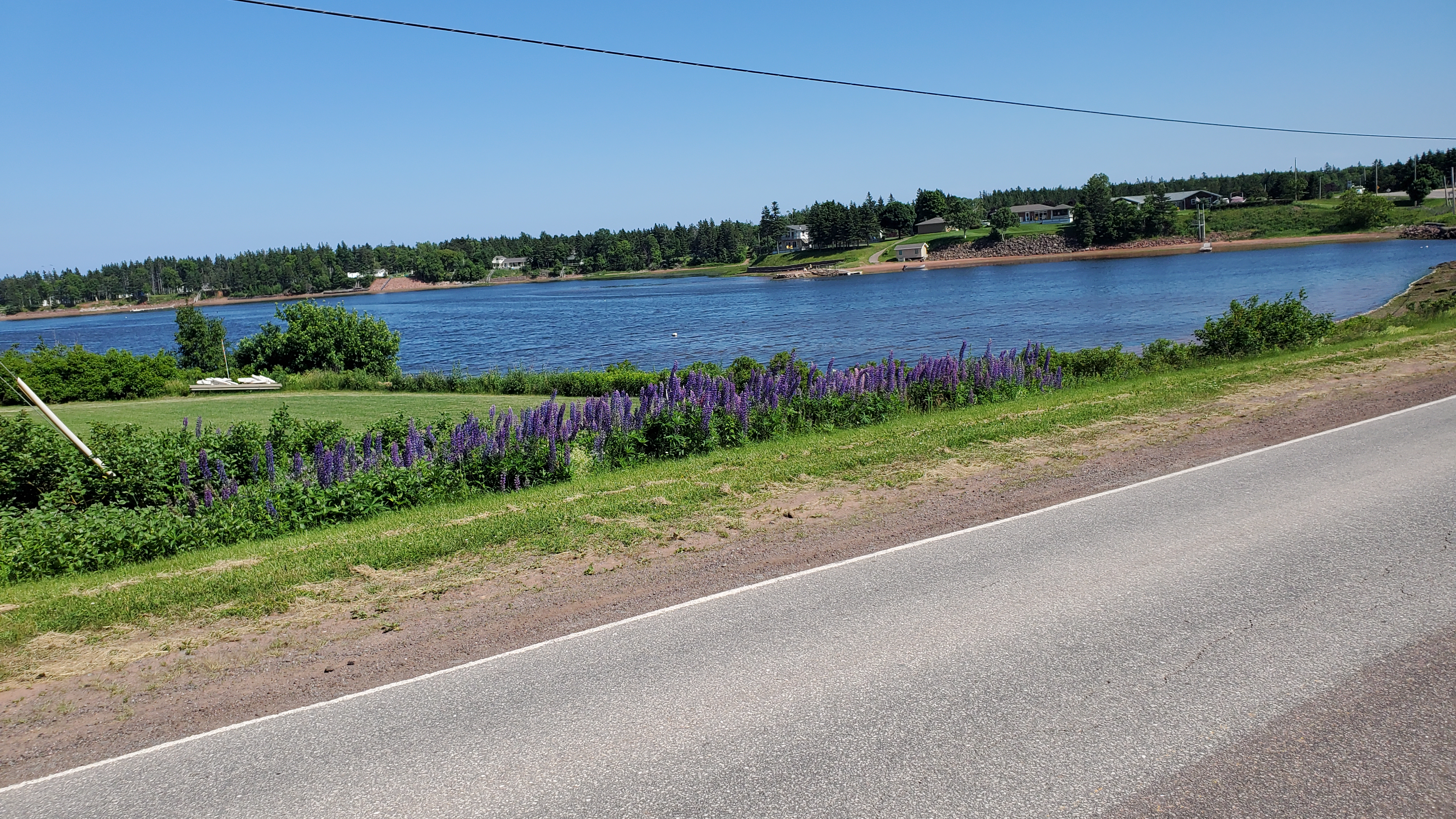
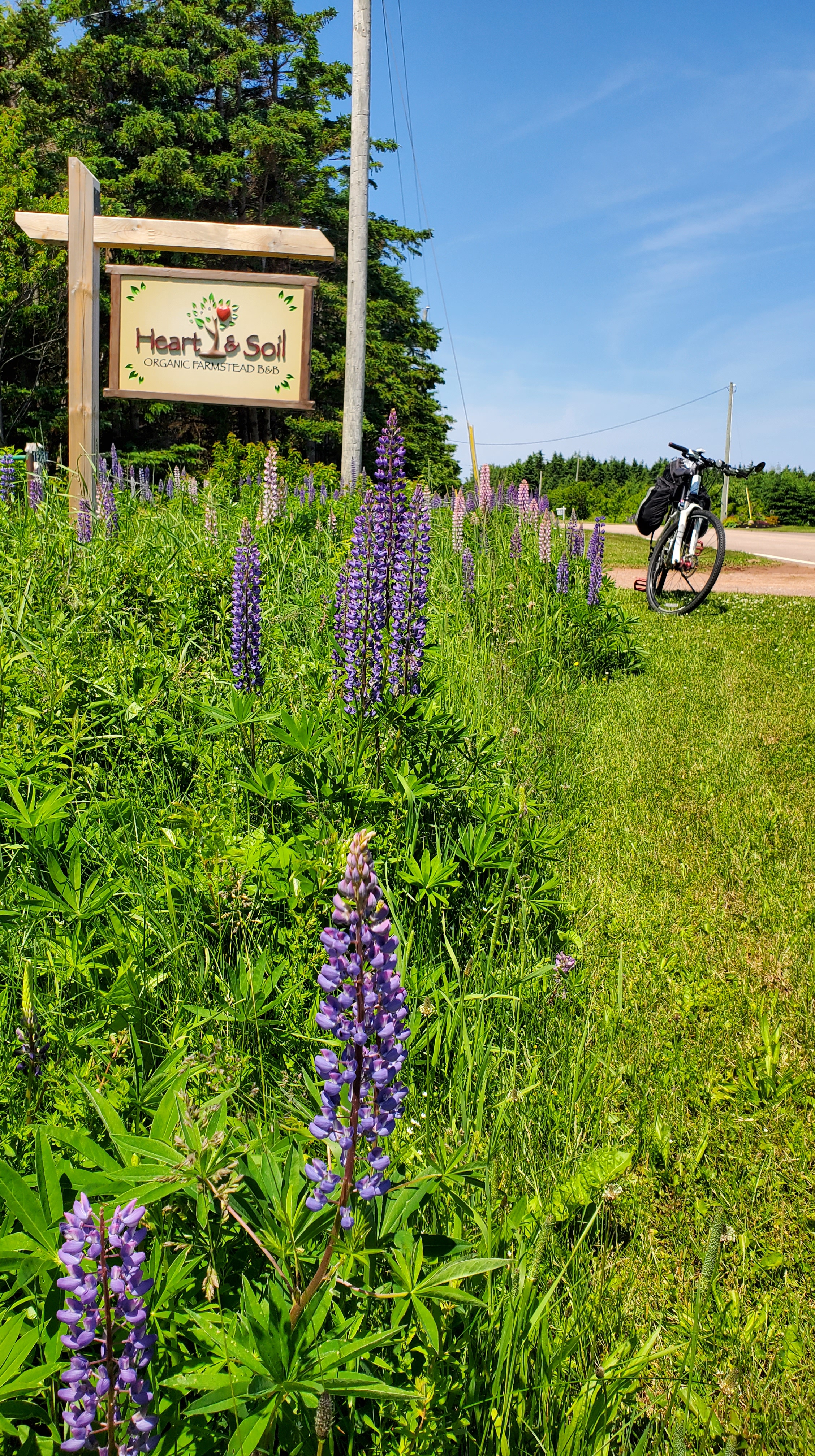
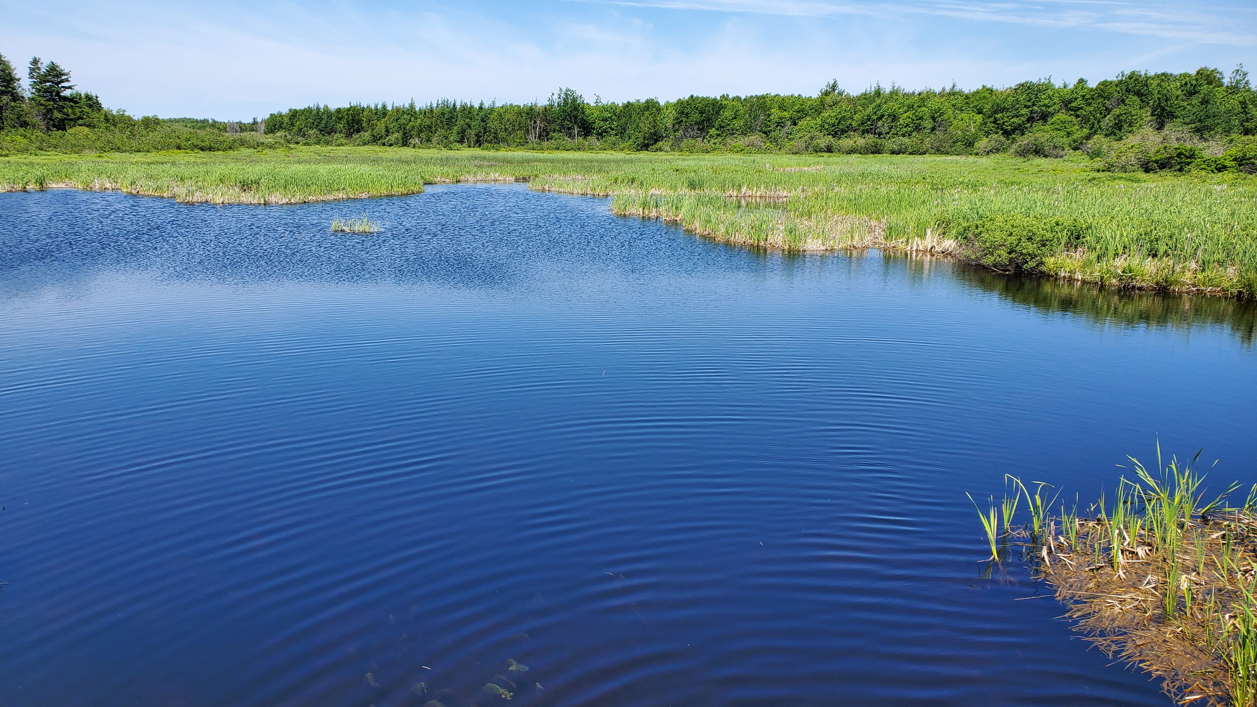
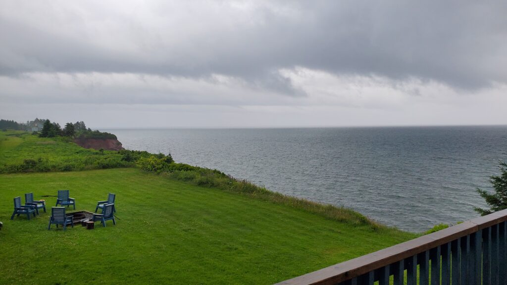
The scenery was stunning and the temperature was perfect. It was cool and sunny and perfect for biking. Wild lupines grow all along the roadway and the fields are planted with mostly potatoes. Here are a few pictures from along this stretch of road.

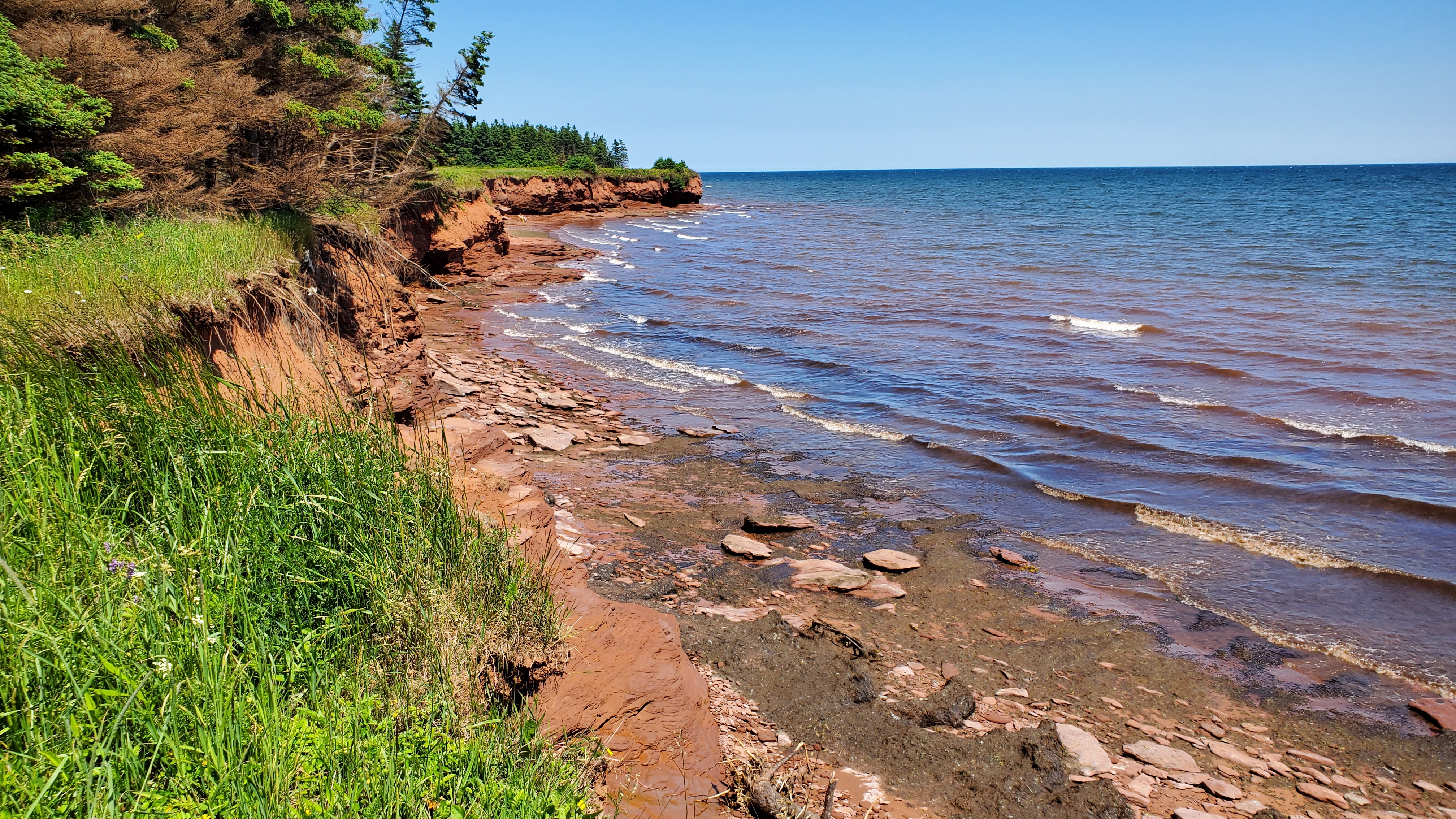

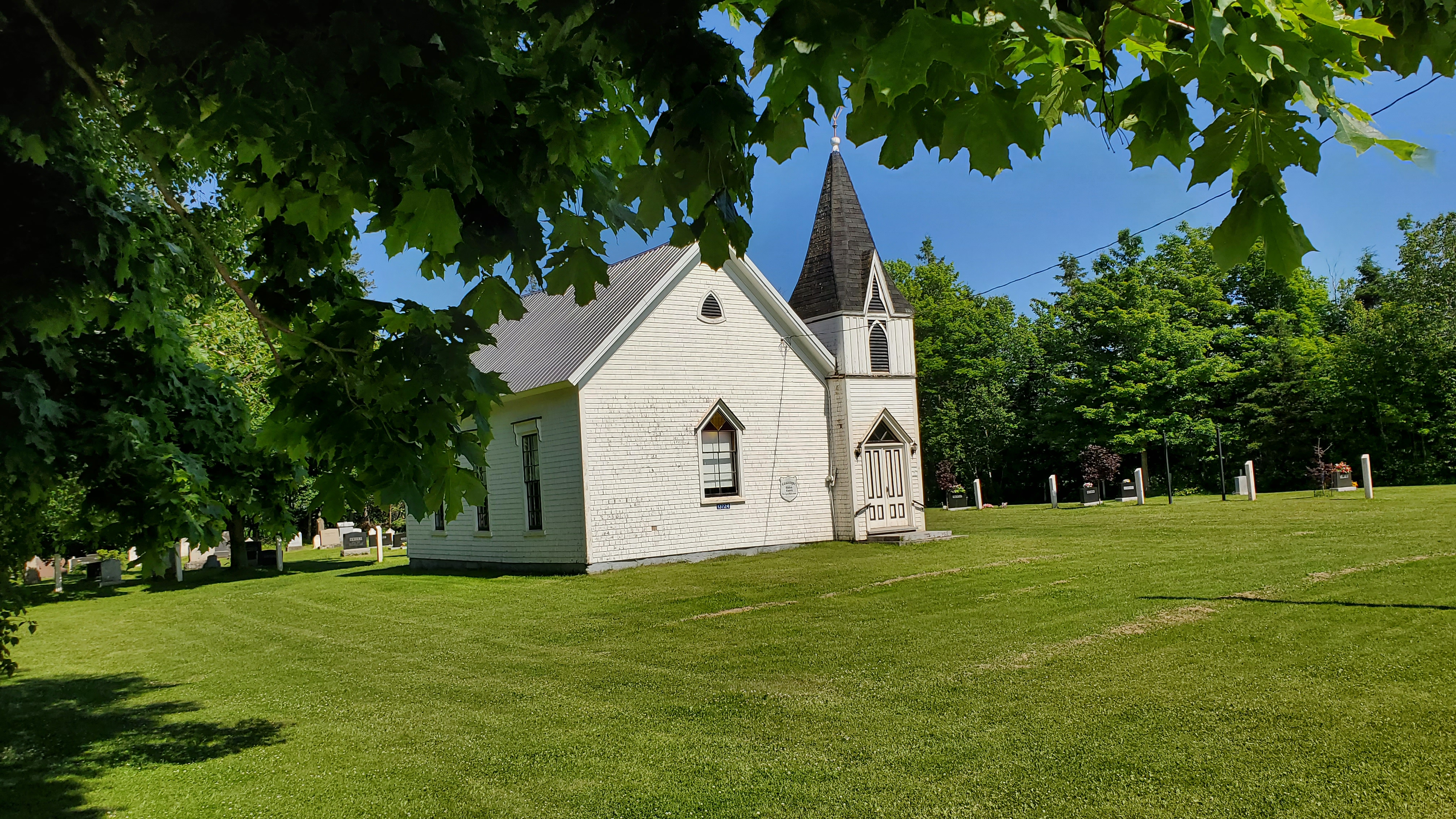
As we traveled along coastal road 12, we passed through some small towns and noticed the beautiful old churches. On Prince Edward Island, from ancient times, there was a rule that the church steeple in a town or village had to be the highest point in town. Other buildings could be built, but they could not exceed the height of the church steeple. This was for two reasons, the first being that the church held a place of honor as consecrated to God, and the second was to make the presence of a town easily recognizable from the water. This is still largely observed on the island today, sometimes stirring up a bit of controversy when developers wish to deviate from this tradition. We were glad to learn the tradition has held so far, because the old churches deserve to have a prominent place in the towns and villages.
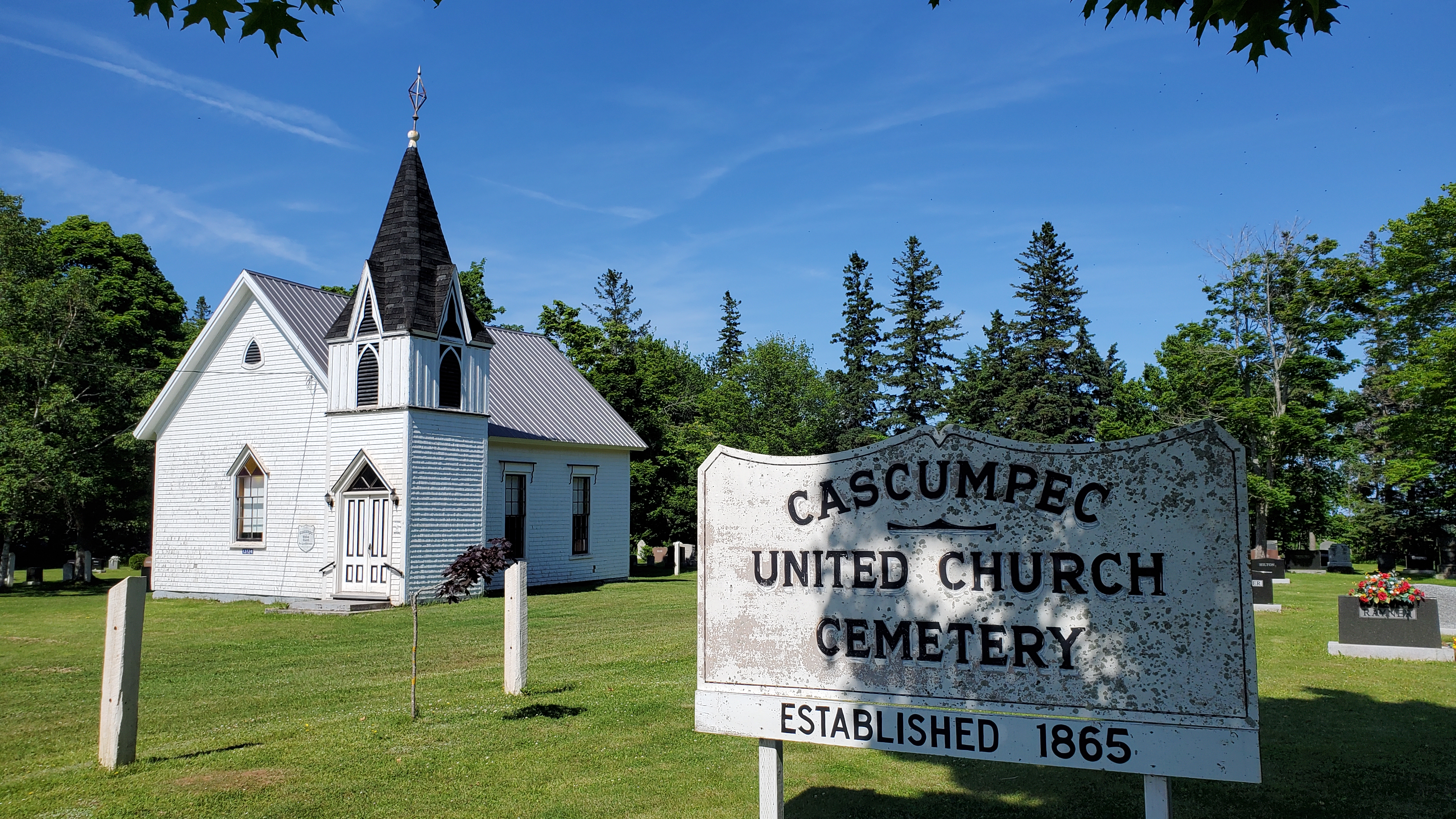
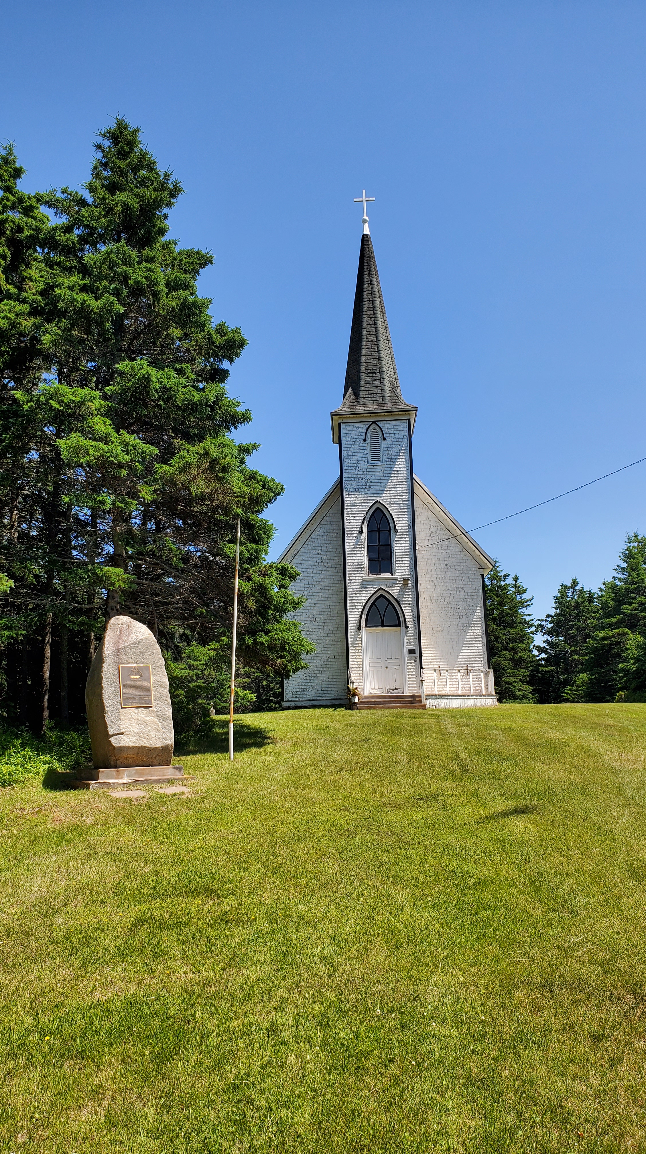
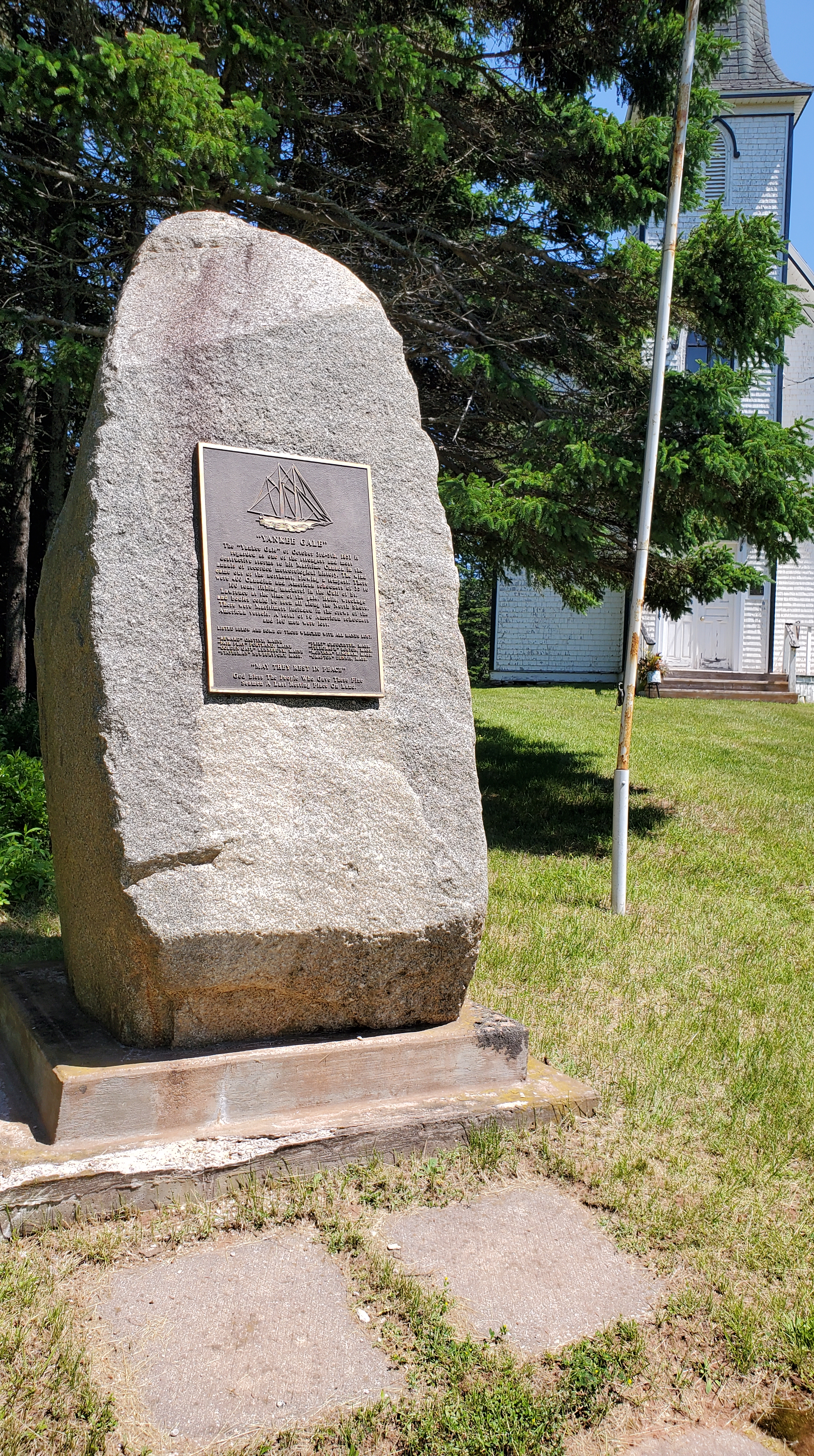
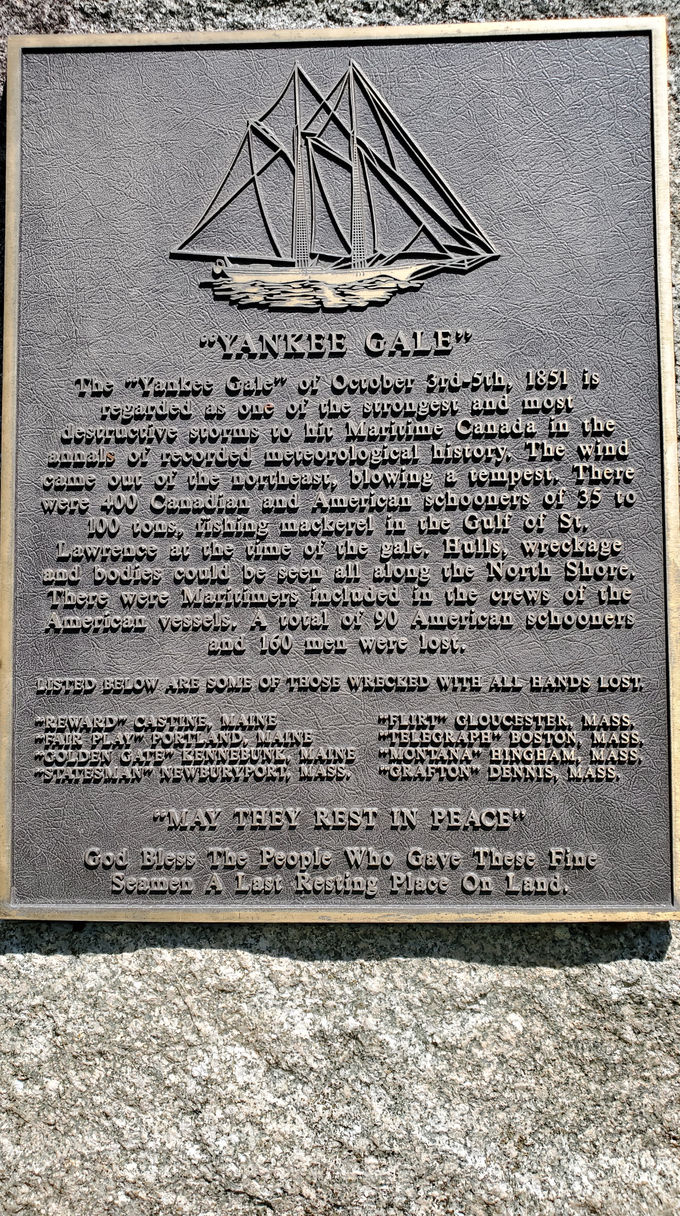
At the church in the photo above, there is a large granite marker. We were surprised to read that it is dedicated to lost American fishermen. In 1851, a storm of unprecedented proportions called the Yankee Gale blew in from the northeast. There were Canadian and American schooners fishing for mackerel in the Gulf of St. Lawrence at the time the storm hit. Reports of hulls, wreckage and bodies could be seen all along the North shore afterwards. A total of 90 American schooners and 160 men were lost. The very bottom of the monument says, “God bless the people who gave these fine seamen a last resting place on land.
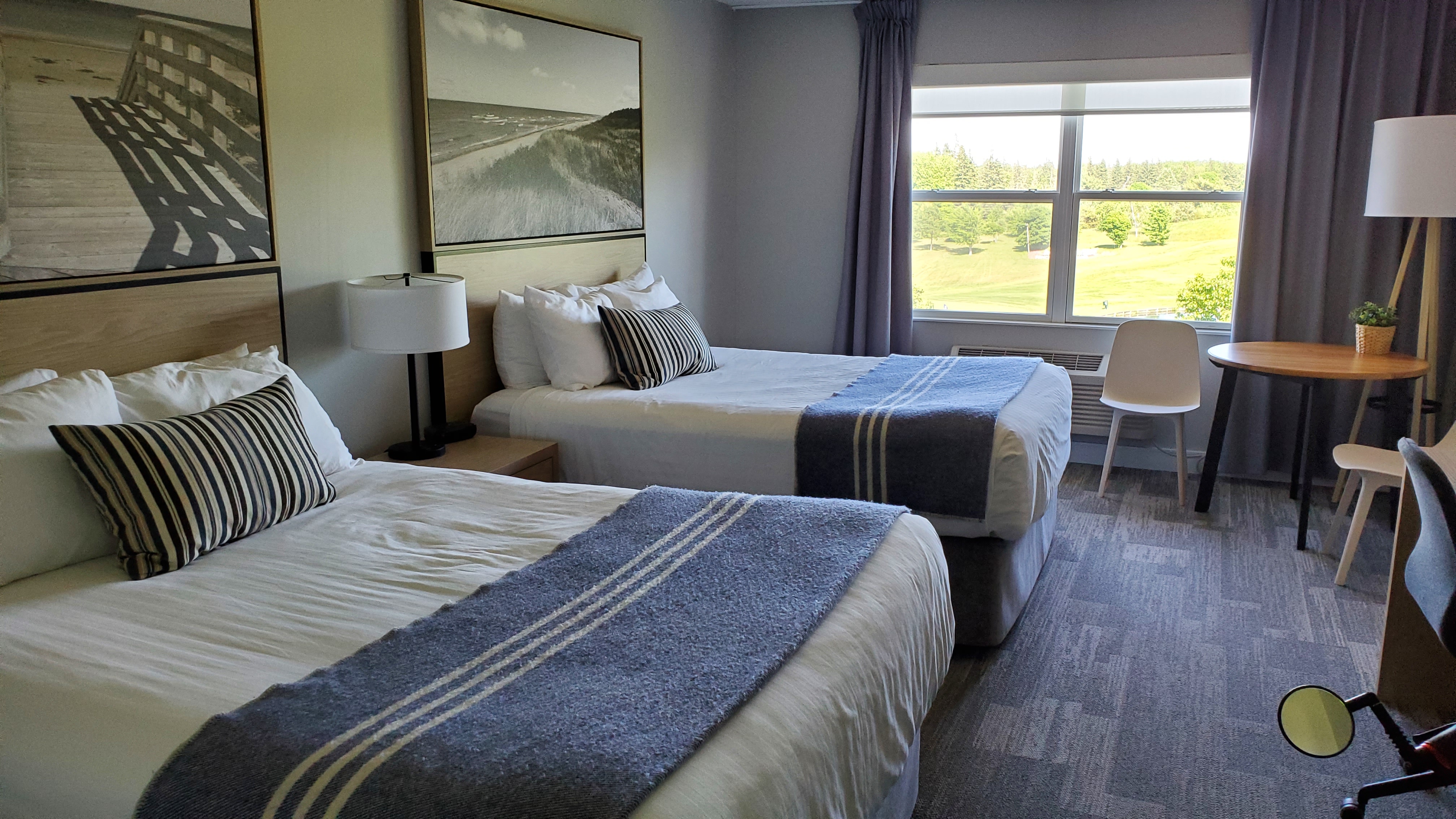
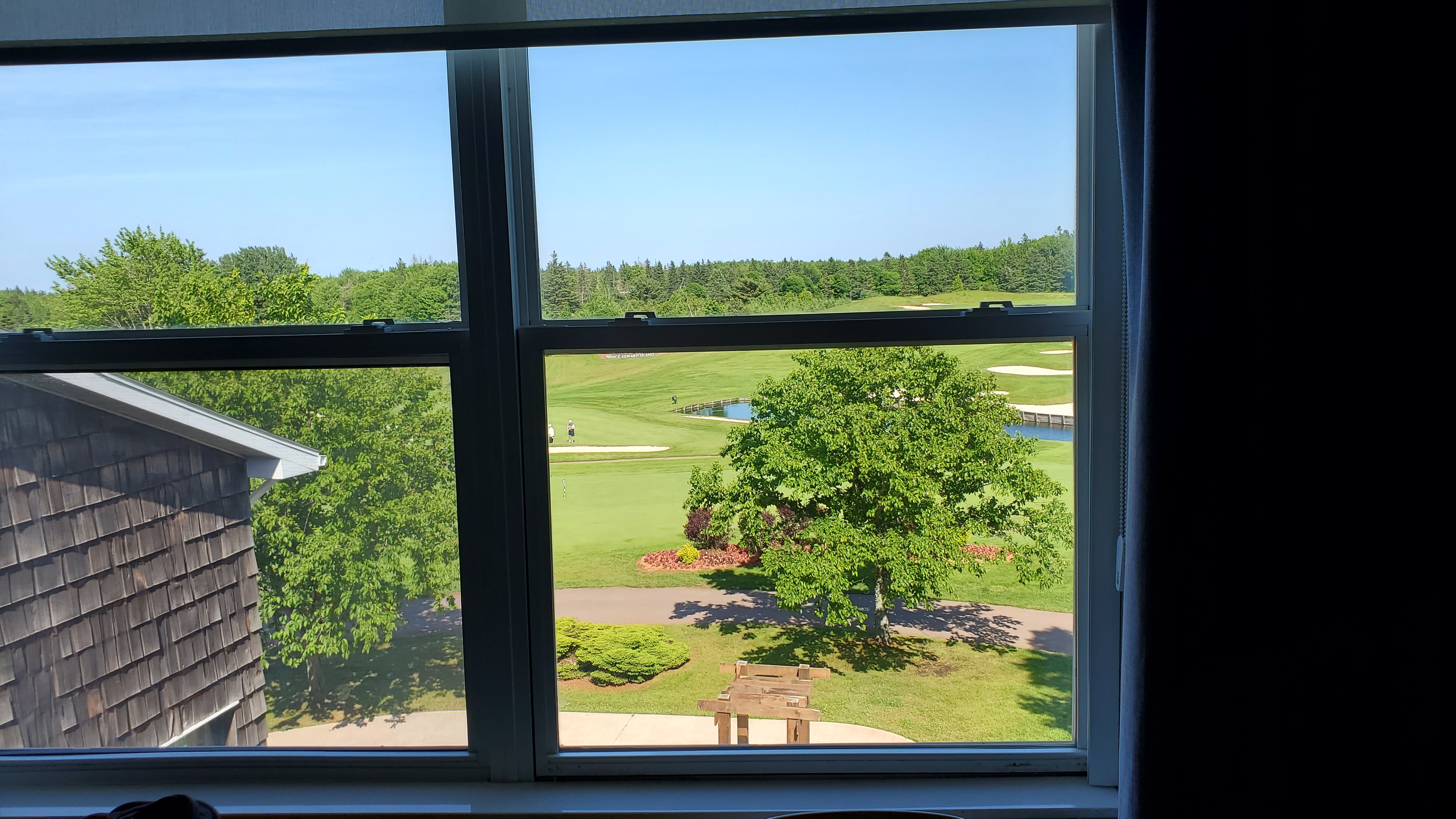
We traveled on and easily found Mill River Resort, a welcome oasis after a beautiful ride.
Related Posts
Day 12 – Vernon River to Charlottetown – 44 km (27.4 miles)
Day 11 – Rain Out! – Little Sands to Vernon River
Beautiful!