GAP/C&O-Day 8-Mile Zero, The Line, The Divide
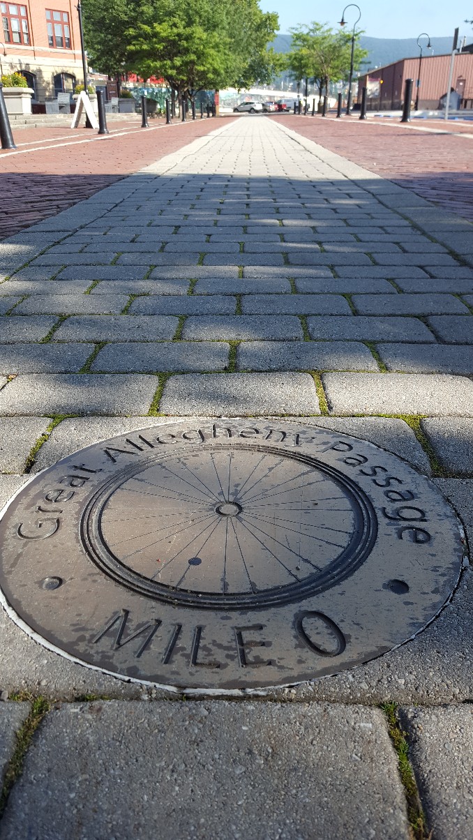
We said goodbye to the C&O Canal Towpath yesterday and hello to the Great Allegheny Passage today. The two trails conveniently converge in Cumberland, MD. While the C&O followed the towpath the mules used alongside the canal, the GAP is a converted railbed, and is 150 miles long, going all the way to Pittsburgh.
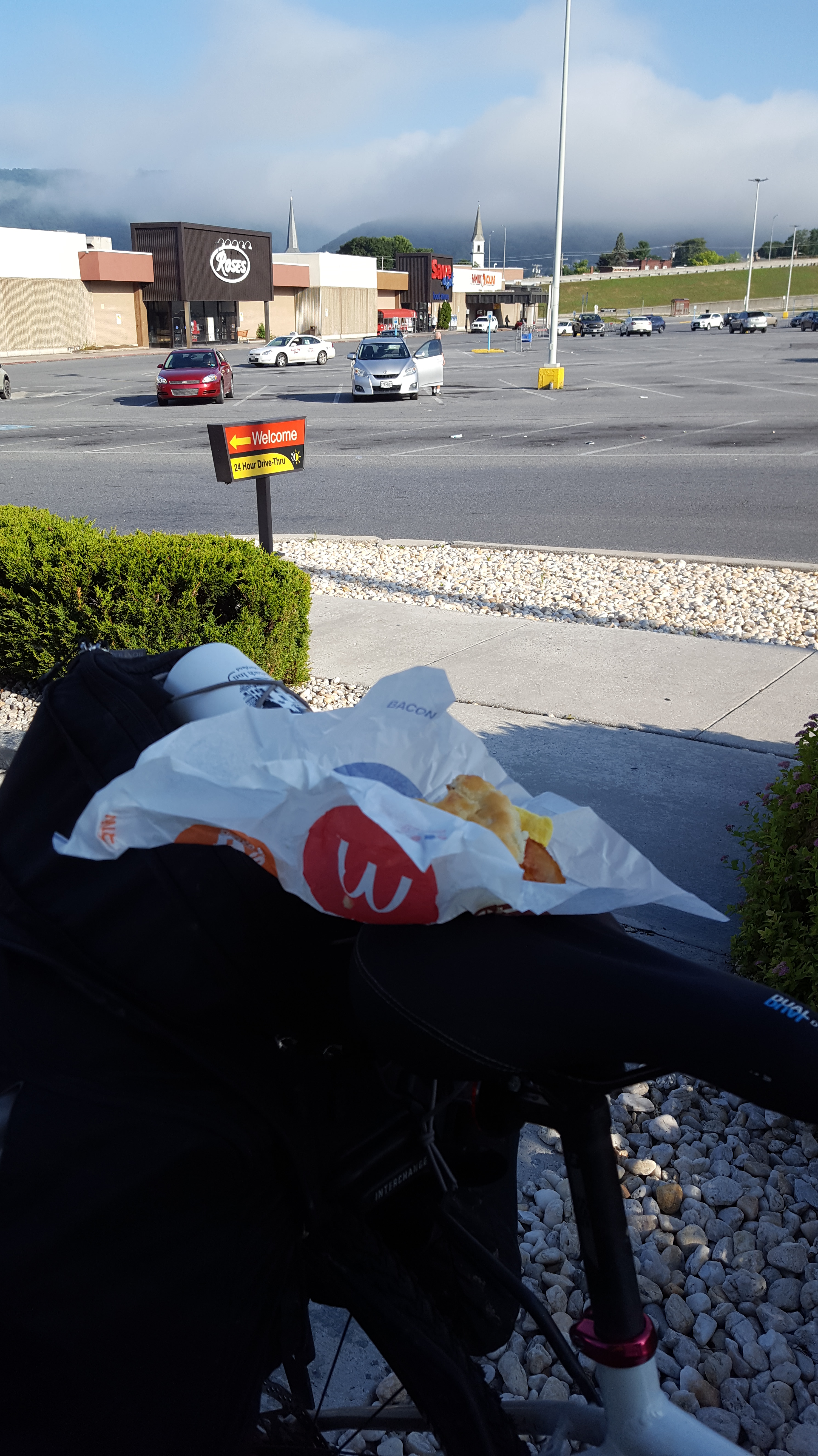
Because the owner of the B&B was dealing with a hip problem, she was not preparing breakfast for the guests. She was having a hard time being on her feet for very long. So she offered a $40 reduction in our rate to make up for no breakfast. We were anxious to get on the trail, so we just stopped at McDonald’s on the way out and ate in the parking lot on or bikes with a view of the mist on the mountains in the distance.
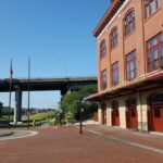
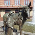
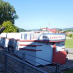
Because we’d taken highway 51 in to Cumberland, we missed the spot on the trail where the two trails connect. There were lots of things to see at that spot, and we took some time looking through the visitor center, the little C&O canal museum, and rode up the trail to photograph the canal coming into town.
As we left Cumberland we knew we were in for a climb. Because we chose to ride the trail from south to north (because of the train schedule we preferred for starting our trip) we were forced to climb to the Eastern Continental Divide at a much steeper grade. A 1.75% grade sounds like nothing. Until you do it. It was 23.5 miles of steady climbing. There was never a time you could coast, always a slight uphill. I took this photo at the Continental Divide showing the elevation change.
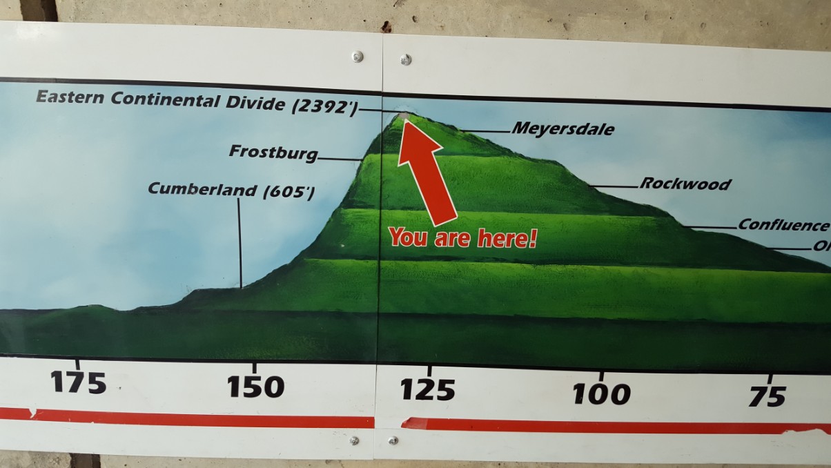
We chose the route to the summit coming from the left of the photo. If we had it to do again, I’d recommend coming from the north.
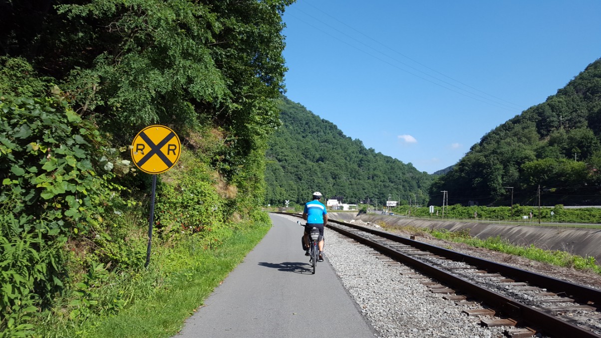
But there were many interesting things to see and many historical markers to break up the ride. One of the first things we saw as we left Cumberland was Lover’s Leap. The legend describes the love of an American Indian princess for an English trapper named Jack. The story did not end well when the two decided to walk up to the highest point in the Narrows and leap to their death.
We passed a woman picking wild raspberries along the trail. They were abundant and she had a bucket full. She offered me one to taste, which I did, though I’d already been eating them all week. She makes jam from the berries each summer, and says it’s delicious.

The next interesting stop along the trail was at the site of Cumberland Bone Cave. In 1912, a Western Maryland railroad cut exposed a small cave. The cave was found to contain a remarkable assortment of bones from species, some of which are now extinct. Two of the skeletons found are now on exhibit at the National Museum of Natural History, the “Cumberland” cave bear and an extinct Sabre-tooth cat. But also found were the remains of mastodons, coyotes, pumas, and even a crocodile!
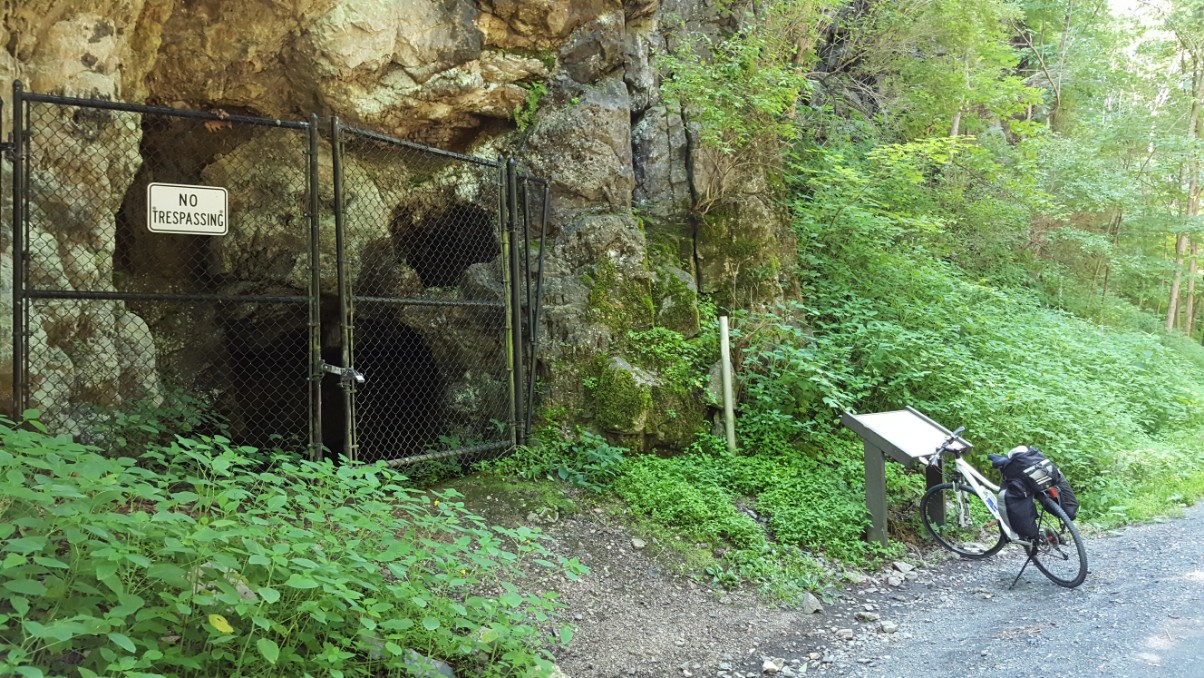
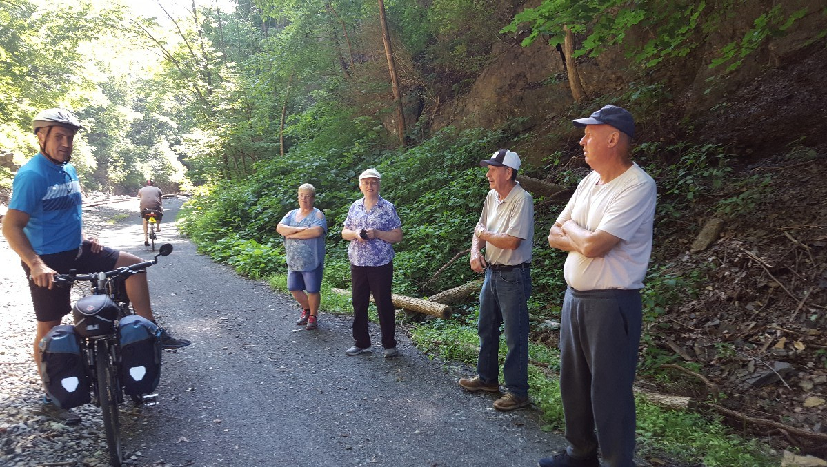
We hadn’t ridden much further when we met 2 couples out for a walk going in the opposite direction. They said hello and asked about our trip. One of the men described playing in the caves as a little boy. He said there’s a cave that isn’t fenced off, because it’s hidden in the woods. Once you step down into its opening, it’s as big as a room and at one time, a Vietnam veteran made his home there. They were very nice and we talked for several minutes before continuing on our way.
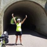
As we climbed out of Cumberland, the views continued to get more picturesque. We traveled through 3 tunnels, one was ¾ of a mile long, but two of them were lit with dim lights. The third was short enough to see relatively well. We rode our bikes through all 3. We noticed windmills at the very top of the mountain, barely visible when we began our climb. By the time we made it to the Continental Divide, we were at the base of the windmills.
The next stop along the trail was the Mason-Dixon line, which is actually marked with a brick path with a line going through it. It angles across the trail.
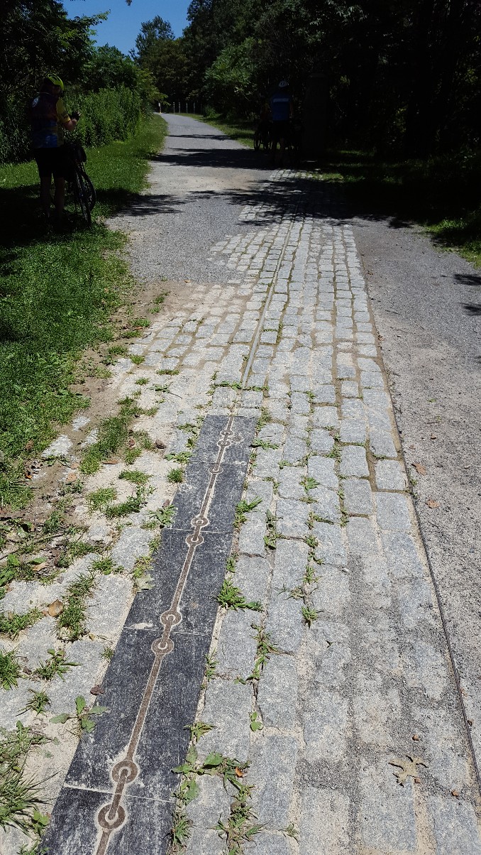
The Mason-Dixon line may be America’s most famous boundary. Today, it is the cultural dividing line between the North and South. The line began as a dispute between 2 British colonial families; the Penns and the Calverts. These 2 families fought over the boundary for 3 generations, finally calling in the survey team of Charles Mason and Jeremiah Dixon. They sailed over from England in 1763 to put the dispute to rest by surveying the boundary lines. Over the next 5 years, they established the 233 mile boundary between Pennsylvania and Maryland, and the 83 mile boundary between Maryland and Delaware. Using the best instruments available in 1763, the team marked a boundary that is remarkably accurate, and within a few feet of surveys using today’s technology. All of that disputing was for nothing though, because both the Penn and Calvert families lost their land to the Americans in the American Revolution.
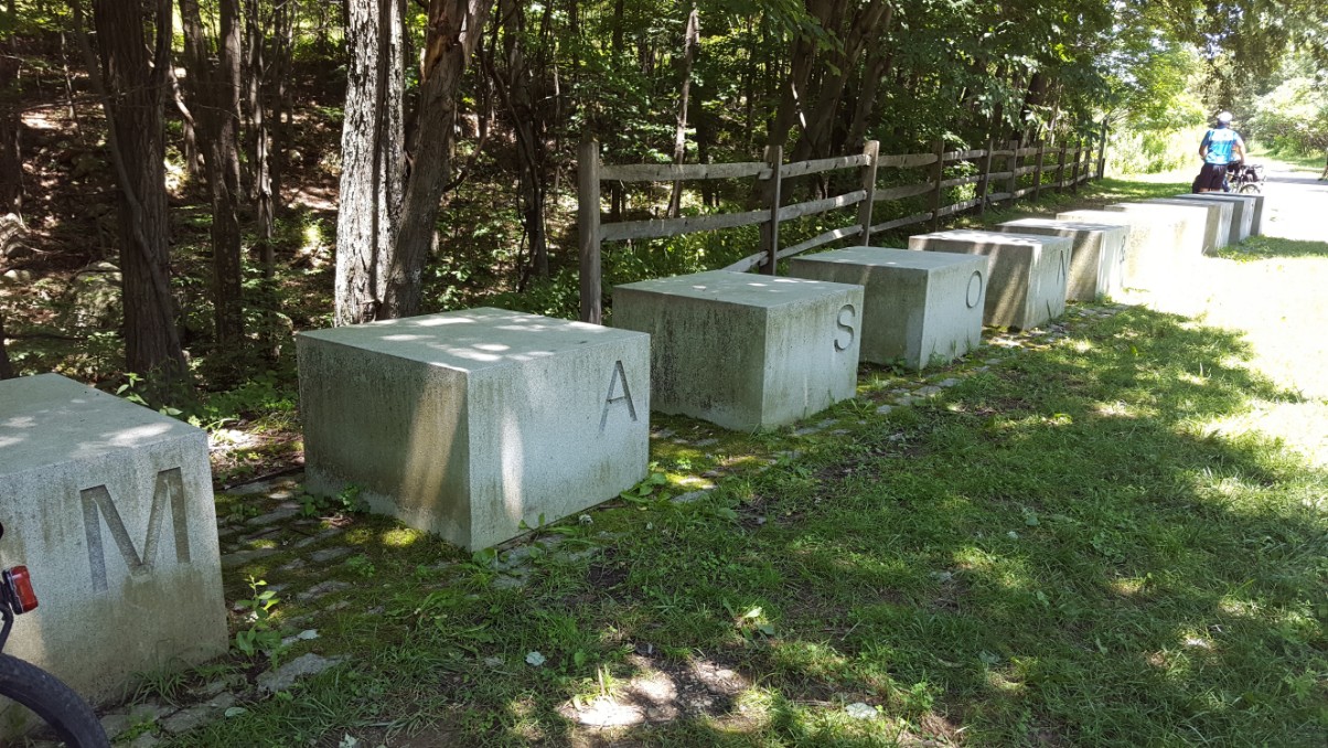
We had fun standing in two states!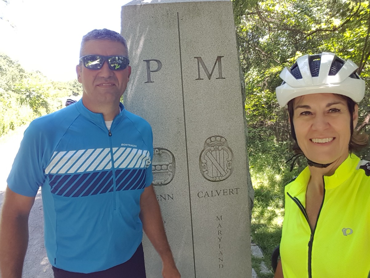
The climb continued, we had an elevation change of 1800 feet over the course of 23.5 miles. Our legs were definitely feeling it! We took a few extra breaks to let our legs rest. We were sitting beside the trail resting, when the Western Maryland Scenic Railroad chugged by. The conductor and passengers waved at us as they passed and we waved back.
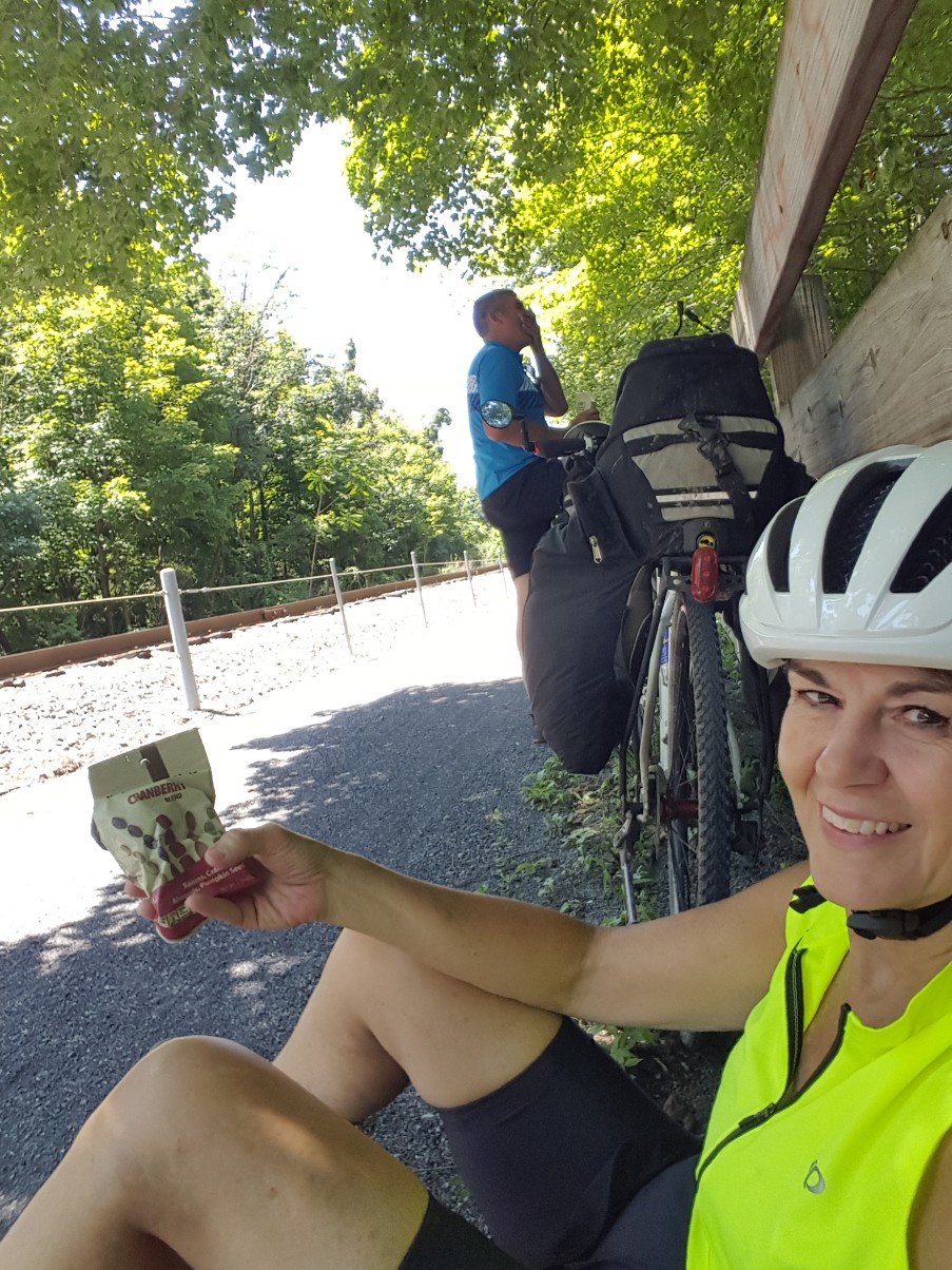
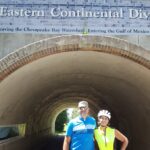
When we reached the Eastern Continental Divide, the sense of accomplishment was well worth it.
After that, it was all downhill to Meyersdale. We were now entering the Laurel Highlands area and began to notice rushing mountain streams beside the trail, beautiful wildflowers and pink and white rhododendron.
Soon we pulled in to Meyersdale, where they have a cute restored train station serving as a welcome station and museum.
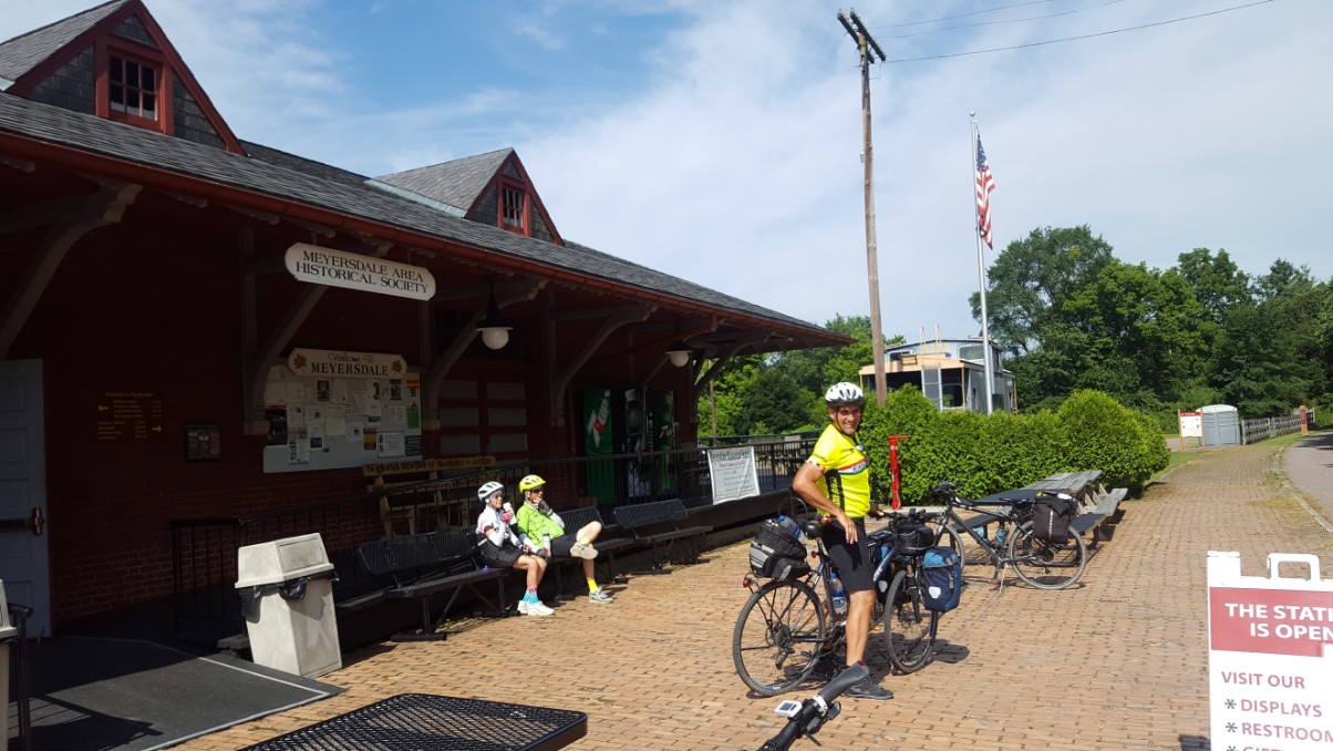
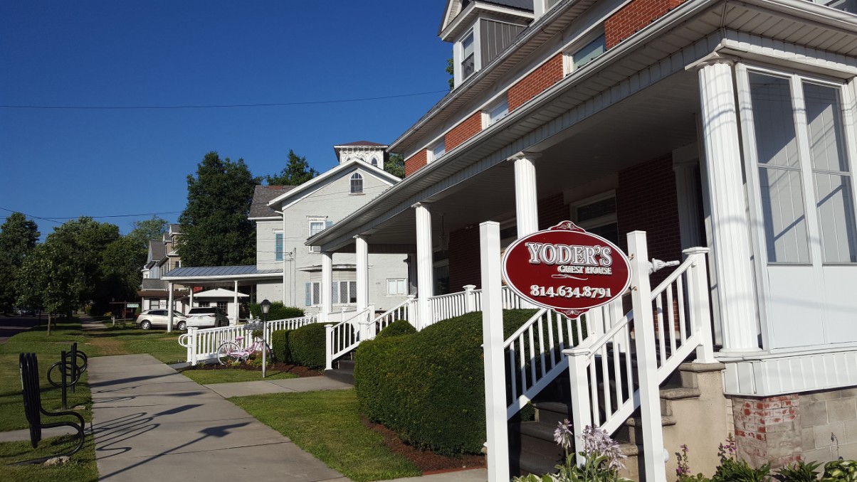
We looked around inside for a bit, then traveled downhill to Yoder’s Guest House. We were greeted by the owner and she showed us the secure bike storage and led us up the stairs to our room. Once again we are the only guests, so we had the place to ourselves. It is a lovely old home that was built in 1901 by Dr. Litchty for his residence and practice. In the early 70’s it was purchased by the Yoder’s and converted into a motel. The new owners have lovingly restored it and offer 9 guest rooms for travelers riding the GAP.
We walked 1 block up from the B&B and had dinner at Morguen Tool Co. Restaurant with a view on the rear deck. After dinner, we walked down to a convenience store to purchase a few snacks for tomorrow’s lunch since we will be in a less populated area with no options for lunch. We celebrated the 4th of July again! The little town of Meyersdale apparently had to postpone fireworks last Saturday due to weather, so the fireworks were rescheduled for tonight. Tomorrow, on to Confluence.
