Veloroute des Bleuets-Biking the Trail of the Blueberry – Day 5 – Sainte-Monique to Alma
Today was our final leg of the Veloroutes des Bleuets, (The Bike Trail of the Blueberry), and ended up being our longest ride. We were fortified with a hearty breakfast on the patio overlooking the river, then onto the trail.

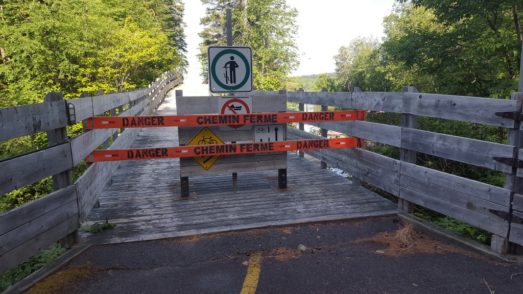
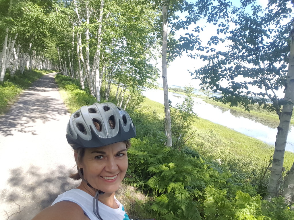
We set off to cool temperatures and clear blue skies. It warmed up quickly and we were soon shedding our long sleeves for sleeveless. We were sidetracked briefly by a detour that we did not completely understand, and travelled down the trail a good piece before we were stopped at a closure. Ahh, I guess that detour sign meant us!
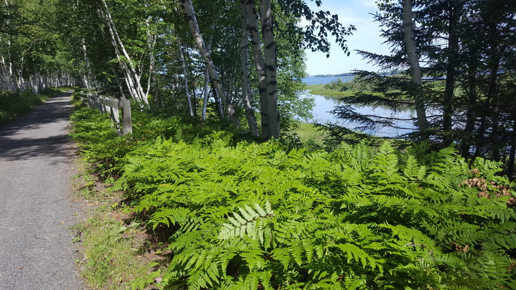
We pedaled back up the hill and were soon on our way again. Most of the route today would be in the big national park here. And because we decided to include the bicycle loop inside Parc Nationale du Pointe Taillon, that made for an extra 45 kilometers or about 17 extra miles on top of our regular mileage for the day. But we both agreed that since we were here, we couldn’t pass up the opportunity to see this beautiful national park by bike. And it was gorgeous!
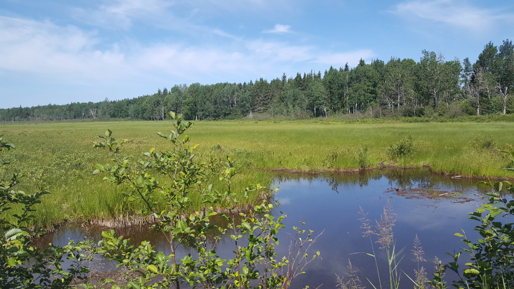
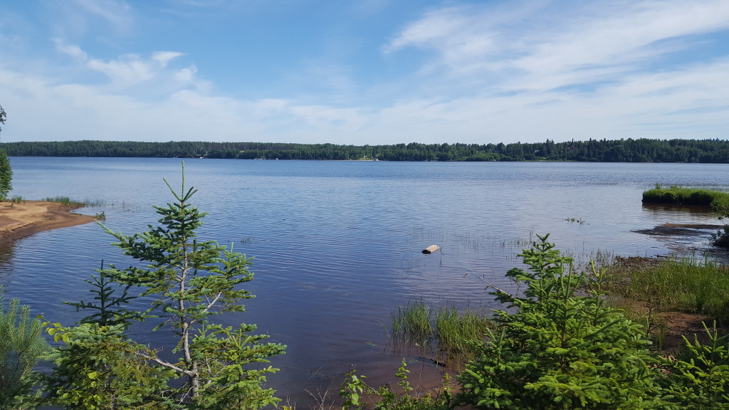
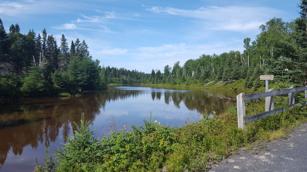
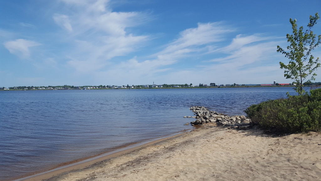
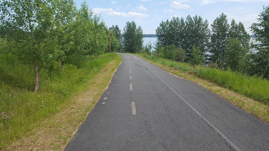
I took most of my photos today within the park. Parc Nationale du Pointe Taillon sits on a peninsula that juts out into Lac Saint-Jean. The bike trail took us around the perimeter of the peninsula with a view of the water along its length. I was really hoping to see a moose, which are plentiful within the parc, but we did not see any. I did see a sign to beware of carnivorous plants however. That was a first!
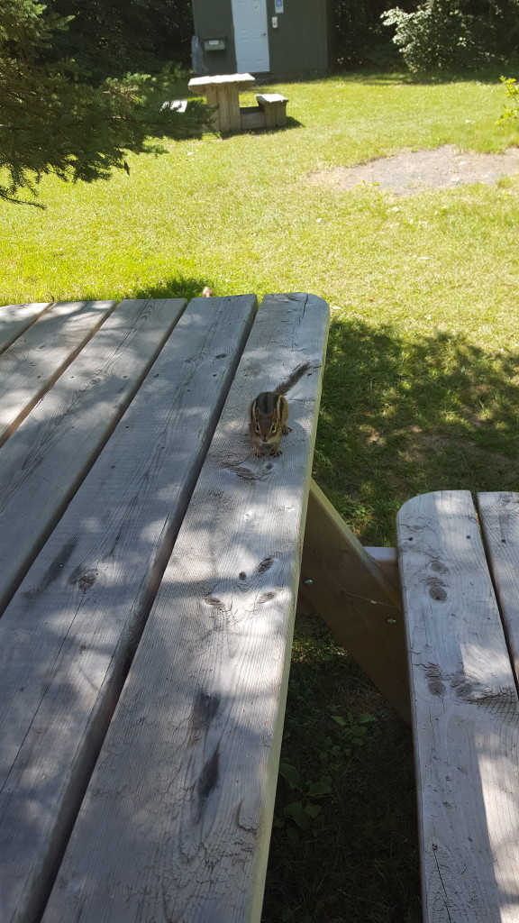
We enjoyed a very friendly chipmunk while we ate a snack. He joined us at the picnic table looking for any scraps we might have dropped.
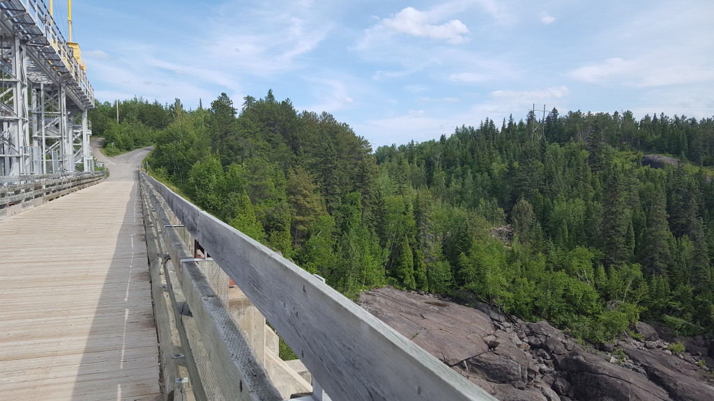
Not only was this the highest mileage day, it was also the toughest section of the trail because there were so many hills. We are not accustomed to hills. We typically stick to rails-to-trails bike paths. The scenery was beautiful but the hills were tough!
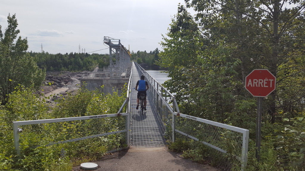
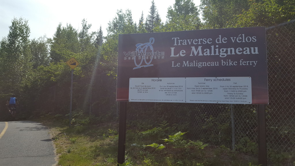
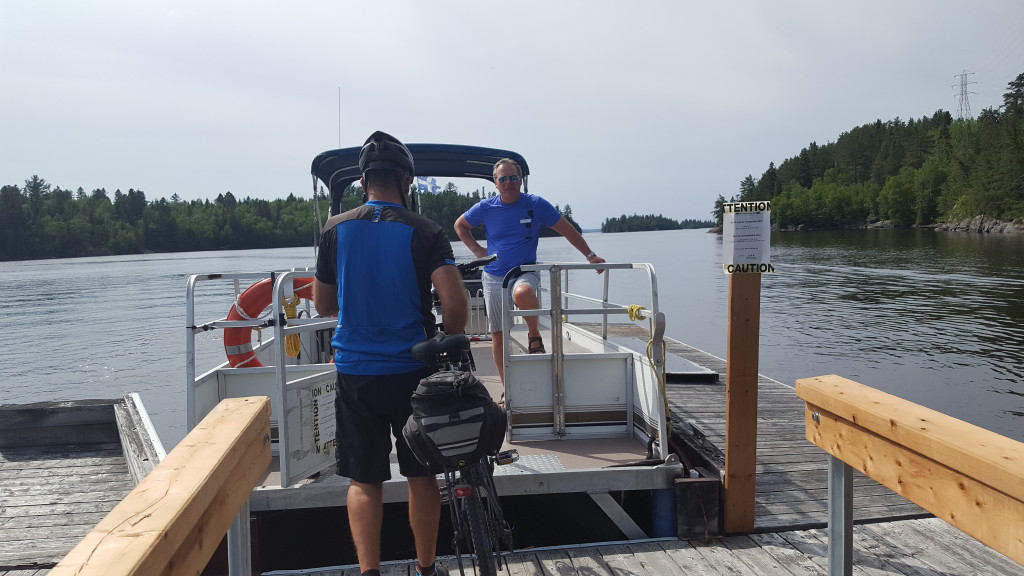
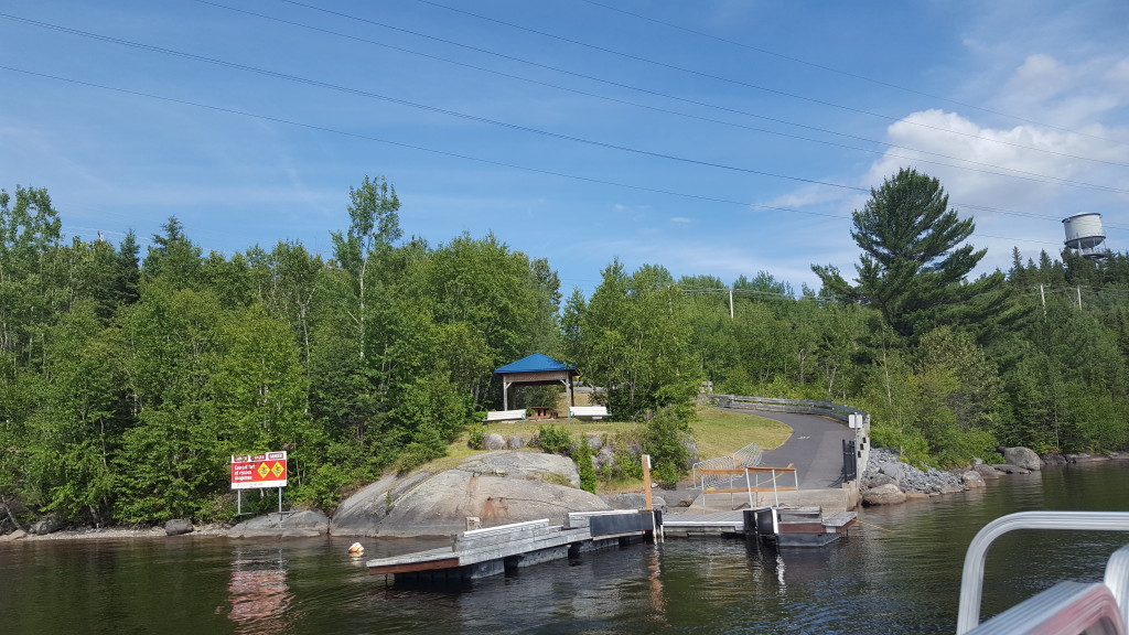
We persevered though and were rewarded with a ferry ride across the river (which shaved off a few miles) and it was free for bicyclers!
We arrived back at our starting point, loaded the bikes on the car, and retrieved our luggage from Equinox Aventure. We stayed at the same little five room inn that we’d stayed in 5 days ago, took showers and headed out to find dinner! It’s been a great trip and we’ve enjoyed our interaction with the locals. Everyone we’ve met has done their best to help us, translate for us, show us the way and been interested in our trip. It’s encouraging to realize that there are good people everywhere. Below is a summary of our trip. All accommodations were made for us by Equinox Aventure. We had a variety of accommodations, but all were very clean, all had secure bike storage, and all accommodations included breakfast. I would stay at any of them again. They also took care of transferring our luggage from place to place, and our bags were always waiting for us when we arrived.
Day 1- Alma to Chombard – 50 km/31 miles – lodging @ Motel Lac Saint-Jean near Chombard
Day 2- Chombard to Saint-Felicien – 50 km/31 miles – lodging @ Hotel de la Borealie
Day 3 – Saint-Felicien to Dolbeau-Mistassini – 57 km/35.4 miles – lodging @ Motel Chutes des Peres
Day 4- Dolbeau-Mistassini to Sainte-Monique – 49 km/30.4 miles – lodging @ Auberge de l’ile du Repos
Day 5- Sainte-Monique to Alma-45 km/28 miles but ended up being 45 miles because we added the national park loop and turned the wrong way on a detour
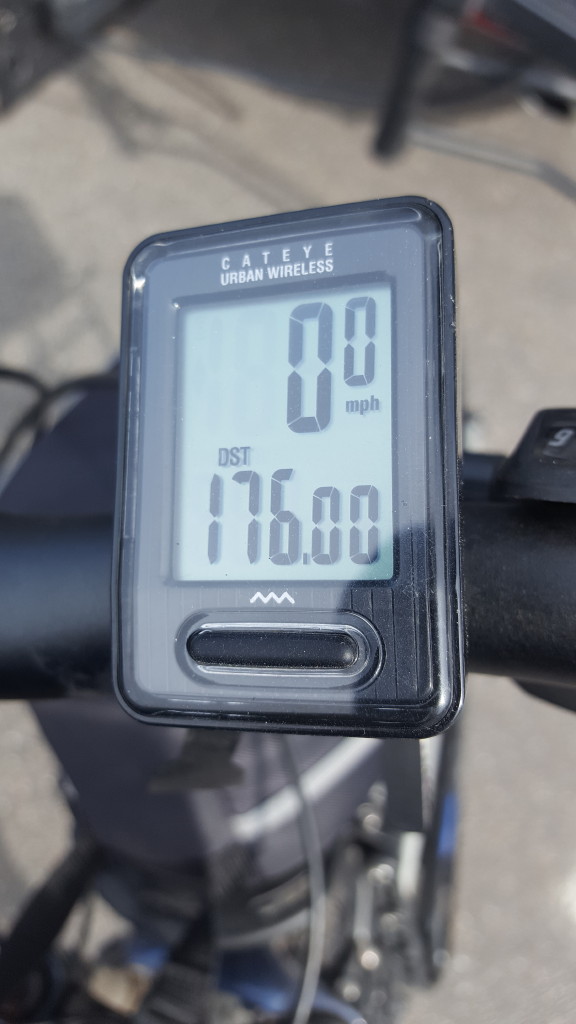
Our total distance was 176 miles because of the little side trips, the parc loop and getting off trail to go to restaurants, etc. If you stayed on the trail only, with no exploring off the trail, the trail distance is a 156 miles from start to finish.
Some things that surprised us about the trail:
- The amount of time we spent on roads that were shared with cars. Many times this was on a dedicated bike lane with some type of barrier, but often it was just on the shoulder of the road. When possible, the trail takes a route through quiet neighborhoods if they are available, but through some sections, the only option is the shoulder of a 2-lane highway. We became more comfortable with this, not sure if that’s a good thing or a bad thing because I think it’s dangerous, but we made it! And road sections made it possible to connect all of the trail so that it’s one continuous loop around the lake.
- Proximity of the lake. We were not as close to the lake as I envisioned. We had glimpses of the lake, and there were sections directly on the shore, but the trail also veers away from the lake quite a bit in the Northern sections. Those parts of the trail were beautiful though, so we didn’t mind. But if you think this is a trail that hugs the lake all the way around, you’d be mistaken.
- Hills. Having primarily ridden rails to trails up until this point, some of the hills were killer. It is still worth the ride, just be prepared for a few tough hills. I walked my bike up some of them, I was pedalling so slow at that point anyway, there was no lost time by walking. Lol!
- The Lac Saint-Jean area is not a tourist destination as far as we could tell. We were there in the middle of July, right in the middle of the typical tourist season, and there were absolutely no crowds. That was a surprise, because I thought such a beautiful lake would be very busy with bustling restaurants, high rises, and souvenir shops. The lake has many undeveloped areas, and the towns that dot the perimeter of the lake are just small towns, not busy cities. No crowds at all, even on the beautiful sand beaches. The sand beaches surprised us. The terrain all around the lake is very similar to Florida, without palm trees and WITH wild blueberries.The lake is actually a huge inland sea, complete with sandy shoreline.There were very few boats on the water, though we did see a few seaplanes docked. We never had to wait to be seated in a restaurant, and the food was excellent. The historical places we toured did not have crowds either. They were very high quality, without the long lines and crowds. That was an especially pleasant surprise!
- Wonderful people. A very pleasant surprise was the helpfulness of the residents. We had been given a spiral bound set of trail maps to help us navigate, and we referred to them several times just to be sure we were headed in the right direction. There were also large maps of the entire trail posted at the rest stops along the trail, and sometimes we’d look at those. In both of those instances, if someone was in sight of us, and saw us reading a map, they would without fail, stop and ask us if they could help us find our way. I’m not sure that would happen in the U.S. I hope it would, but the Canadian people are especially helpful. We had offers to help us with menus,or menu boards by folks in line behind us. If we were at a restaurant and our server didn’t speak English, they would try to find another server that did. We were never made to feel that it was an inconvenience to stop and help us, and I know they were busy. Time and time again they would go out of their way to make our visit special. I just love that about the people we’ve met! And it has prompted me to try and do a better job of helping and loving people too!
It’s been a great trip and I’m already day-dreaming about another Canada bike trail. Now excuse me while I Google the Confederation Trail!
